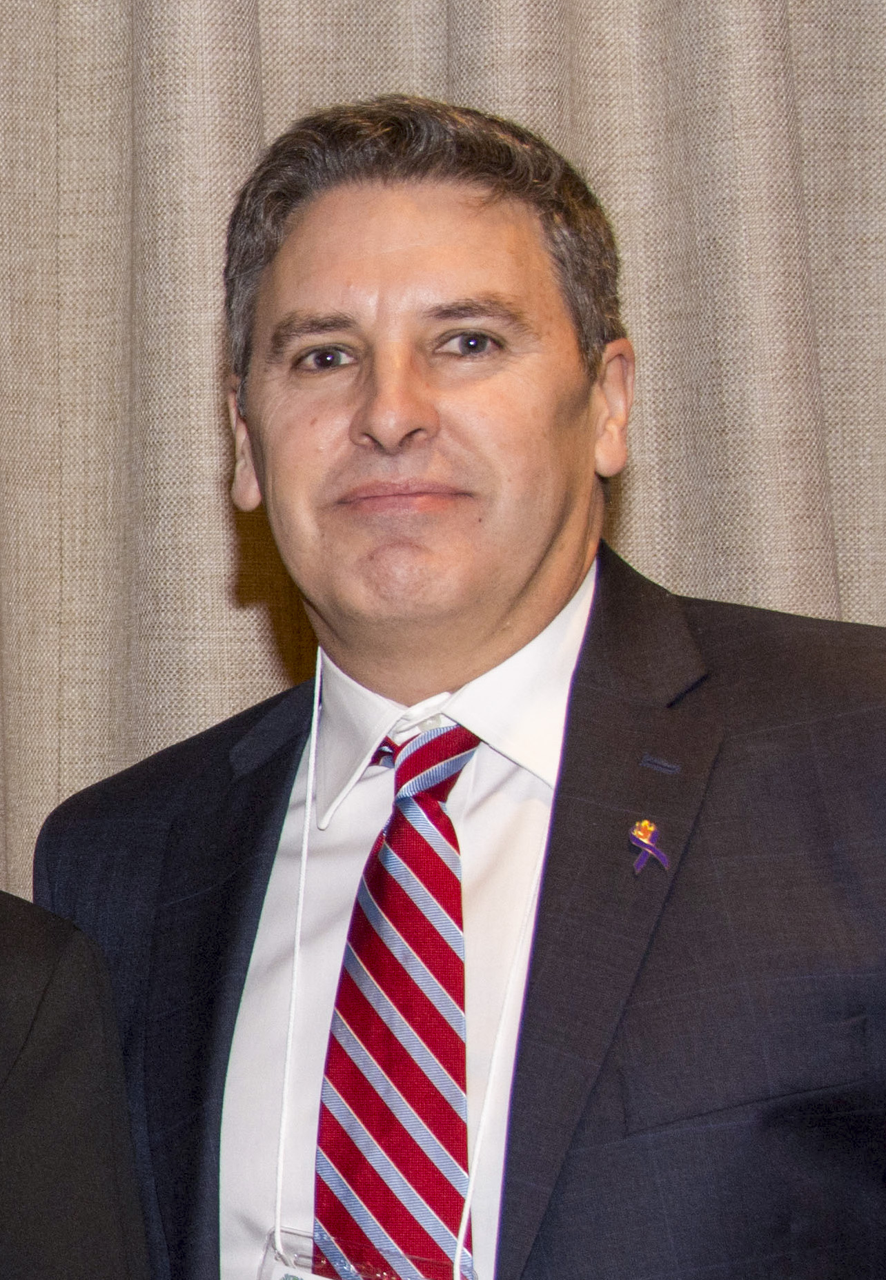
Txomin Hermosilla
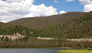
To measure and catalogue Canada’s massive forest resource—covering more than 350 million hectares—requires advanced technologies and a data revolution. Twentieth century innovation in remote sensing gave foresters the ability to observe forests from above, first from the air, and then from orbit. Innovations have further revolutionized forest monitoring and management. Satellites, airplanes and drones can now capture unprecedented amounts of data with an accuracy and intelligence that allows foresters to create information-packed maps and visual displays. NRCan’s remote sensing researchers are leading this revolution. Canada’s forest scientists collaborate on many projects to study what the data are revealing about forest characteristics, both at home and around the world. The Pacific Forestry Centre (PFC) in Victoria, BC, has a dedicated team engaged in this cutting-edge forest research. Using the latest in computational technology to analyse a variety of remotely sensed data, scientists like Txomin Hermosilla are monitoring and reporting on Canada’s forest changes following disturbance events.


 Last November will be a month the BC forest industry remembers for many years, if not decades.
 February 1, 2022 – Vancouver, British Columbia –
  BURNABY, BC — Interfor Corp.
 EDMONTON, AB – The provincial government has announced a string of new partnerships to boost Alberta’s workforce and help residents find good jobs. A $1.53 million investment under the Workforce Partnerships program will support 16 different projects. The projects will give Albertans a range of job opportunities in several different sectors, including biotechnology, commercial trucking, energy, aviation, forestry and retail. …Supported projects include:
 Given increased interest and emphasis on growing and diversifying Canada’s value-added wood exports, the Tree Frog News decided to have a closer look at BC Wood’s Export Readiness Program—which kicked off last week. In an
  Doctors and other licensed health-care professionals in four provinces can now prescribe a free pass to Canada’s national parks. PaRx, Canada’s first national nature prescription program, was started by the B.C. Parks Foundation in November 2020 to help health-care professionals develop a “nature prescription” that encourages patients to spend time outdoors as a way to manage anxiety and improve mental and physical health. Citing a growing body of research on the health benefits of time in nature, the program recommends about two hours a week in nature, for at least 20 minutes at a time.
 Lori Daniels and Robert Gray
 NANAIMO, B.C. — Lawyers for several people arrested for breaching an injunction during protests over old-growth logging in British Columbia argued Wednesday that the charges against their clients and others should be stayed due to “systemic police misconduct.” Lawyer Karen Mirsky told B.C. Supreme Court Justice Douglas Thompson that allowing prosecutions to continue would be harmful to the integrity of justice and a stay is necessary to dissociate the court from police misconduct. The RCMP have made close to 1,200 arrests while enforcing the injunction first granted to logging company Teal Cedar Products last April to prevent blockades set up over the last 18 months in the Fairy Creek area of southern Vancouver Island. Members of the protest group called the Rainforest Flying Squad filed an application last month asking for a stay in proceedings against those charged with contempt of court, claiming RCMP misconduct amounts to an abuse of process.

 I read with interest Charlie Rensby’s column dated Jan. 26 regarding old growth deferrals. On first reading it sounded pretty good and I agreed that coastal old growth is not the same as our interior fire based ecosystems. But the article did leave me a bit confused so I did a bit of research into the management plans and recent timber supply review. What I found was that we don’t really have an old growth deferral but rather a number of Old Growth Management areas that were designated years ago. …What is impacting our local timber supply and therefore our local timber based economy are not old growth management areas or deferrals but rather a significant short fall in our mid term timber supply as a result of the mountain pine beetle infestation and the mortality of up to 80 per cent of our pine stands.


 The new Annual Allowable Cut (AAC) for the Okanagan timber supply area will see a 20 per cent more tree harvest reduction. Deputy chief forester Shane Berg made the AAC 20 per cent reduction decision after considering the timber producing capacity of the forest, Indigenous interests and requirements for biodiversity, wildlife habitat, recreation resources and cultural values, according to Nigel McInnis, public affairs officer for the ministry of forests. Indigenous perspectives on the AAC were voiced by representatives of the Sylix nation. The impact of logging on the Okanagan is greater than simply economic, said Jesse Zeman, with the BC Wildlife Foundation. The timber harvest is a tool used to mitigate forest fire risk by thinning the canopy and removing dead stands. …The absence of logging means that implementing another fire-control strategy, controlled burns, is necessary to secure the health of Okanagan’s forests, said Zeman.
 On Wednesday, the BC Supreme Court will review a request to drop charges against more than 300 Fairy Creek old-growth protesters. The proceeding is an application by the Crown to dismiss a Jan. 5 defence application for a stay of proceedings due to a pattern of misconduct by the RCMP. …Karen Mirsky, a lawyer for more than 20 protestors, who is also president of the BC Civil Liberties Association, says harsh RCMP tactics are not a case of one bad apple. She told the BC Supreme Court that “evidence is pointing to police misconduct …on a scale that suggests an Abuse of Process”—tactics her team says are not warranted by protestor behaviour. …Nanaimo lawyer Elisabeth Strain, who represents several of the Fairy Creek protesters, says the RCMP’s Civilian Review and Complaints Commission has started an investigation into complaints of police tactics at the site.
 The University of British Columbia Faculty of Forestry is exploring combining five of its degrees into one. …the faculty of forestry currently offers six different degree options. Each individual degree has varying majors, minors and specializations. Chiara Longhi, director of student services for the faculty of forestry, and Patrick Culbert, an associate professor of teaching, conducted a virtual town hall last month to consult with students on the proposal. The “one-degree initiative” would change the current structure from five degrees to six majors under one degree. Under the one-degree initiative, the only degree remaining unchanged would be the bachelor of urban forestry. If the proposal is supported, Culbert said the changes could take effect in fall 2023. The one degree would be a bachelor of sciences in natural resources, which would include five majors. Those options would be wood products processing, forest bioeconomy sciences and technology, forest sciences, natural resources conservation and forest resources management.
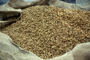 With a population of around 43,000, the Northwest Territories is the most populated of Canada’s three territories, with a land area that’s roughly twice the size of Texas. …Like most regions or communities in the Arctic, subarctic or northern and remote locations, the Northwest Territories requires unique energy solutions and poses many challenges when it comes to energy. …While the vast majority of Canada is connected to the North American electrical grid, the NWT is not. As for heat, heating oil is the most prominent fuel used, along with propane, wood (in many cases, aging and poorly functioning systems) and, as of more recently, wood pellets. In a bid to solve some of the Northwest Territories energy challenges—which includes reducing emissions and moving to clean energy—the government has laid out a 2030 Energy Strategy, of which biomass-based fuel and technology is an important pillar.
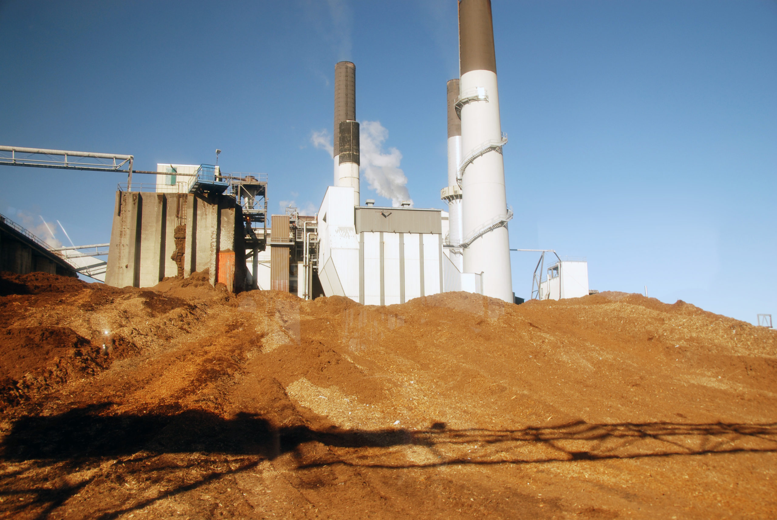 Harmac Pacific’s Nanaimo pulp mill will receive $12 million from the province to reduce its natural-gas use by upgrading its biomass boiler system, as part of more than $166 million in clean-technology funding announced Monday. Another $616,783 is going to improve Harmac’s pulp dryer and heating and ventilation systems to recover heat and cut down on natural-gas use. The pulp mill’s projects are among 25 initiatives to implement cleaner technologies and reduce emissions in sectors such as pulp and paper, mining, and oil and gas. Money will be invested in energy-efficiency improvements at pulp and paper mills, electrifying equipment in the mining and oil and gas sectors, and gas-capture systems at the Vancouver landfill and at oil and gas operations. The CleanBC Industry Fund, supported by the carbon tax paid to the province by industry, is investing $70 million. Another $74.5 million is coming from industry, and other sources such as B.C. Hydro and FortisBC, while other government programs are contributing $22 million.