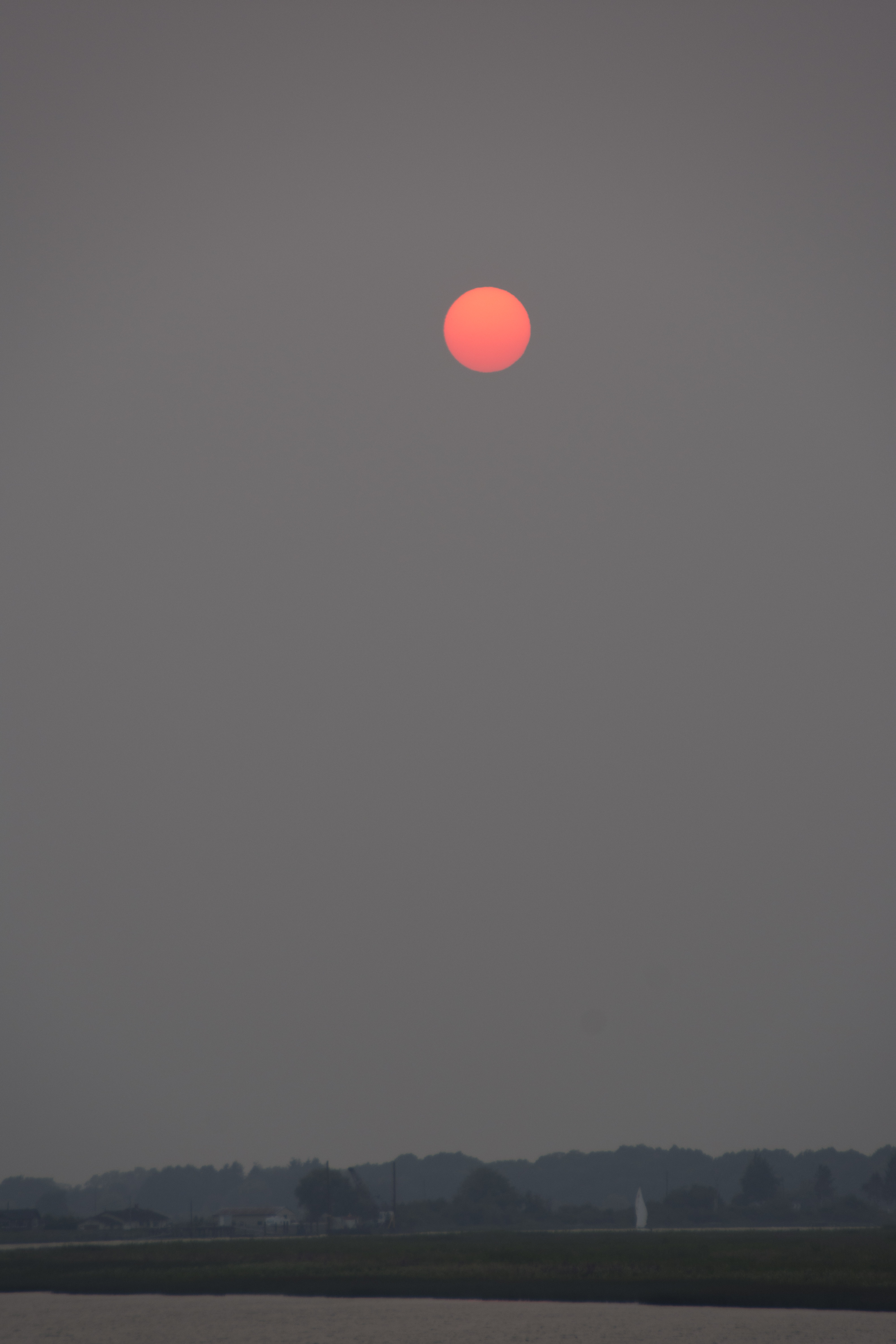
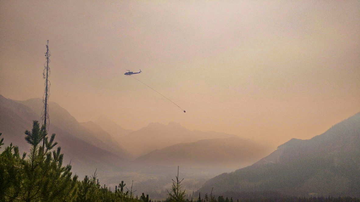
 More than 950 wildfires are scorching Canada from coast to coast, the national wildland fire summary says. Roughly 241 blazes are out of control. The fires have prompted Environment Canada to issue air quality warnings from B.C. to Quebec, as well as the Northwest Territories. Here’s a look at what is happening:
- British Columbia: Nearly 115 wildfires are burning in British Columbia. BC Wildfire Service says a majority were sparked by lightning…
- Manitoba: Multiple out-of-control wildfires are burning in Manitoba’s north…
- Northwest Territories: Fires forced about 1,300 residents of Fort Simpson and 130 from Wrigley to leave their communities in late June…
- Ontario: Nearly 200 wildfires are blazing across the province, already scorching more land than all of last year’s fires…
- Nova Scotia: Crews in Nova Scotia are fighting an out-of-control wildfire northeast of Halifax…
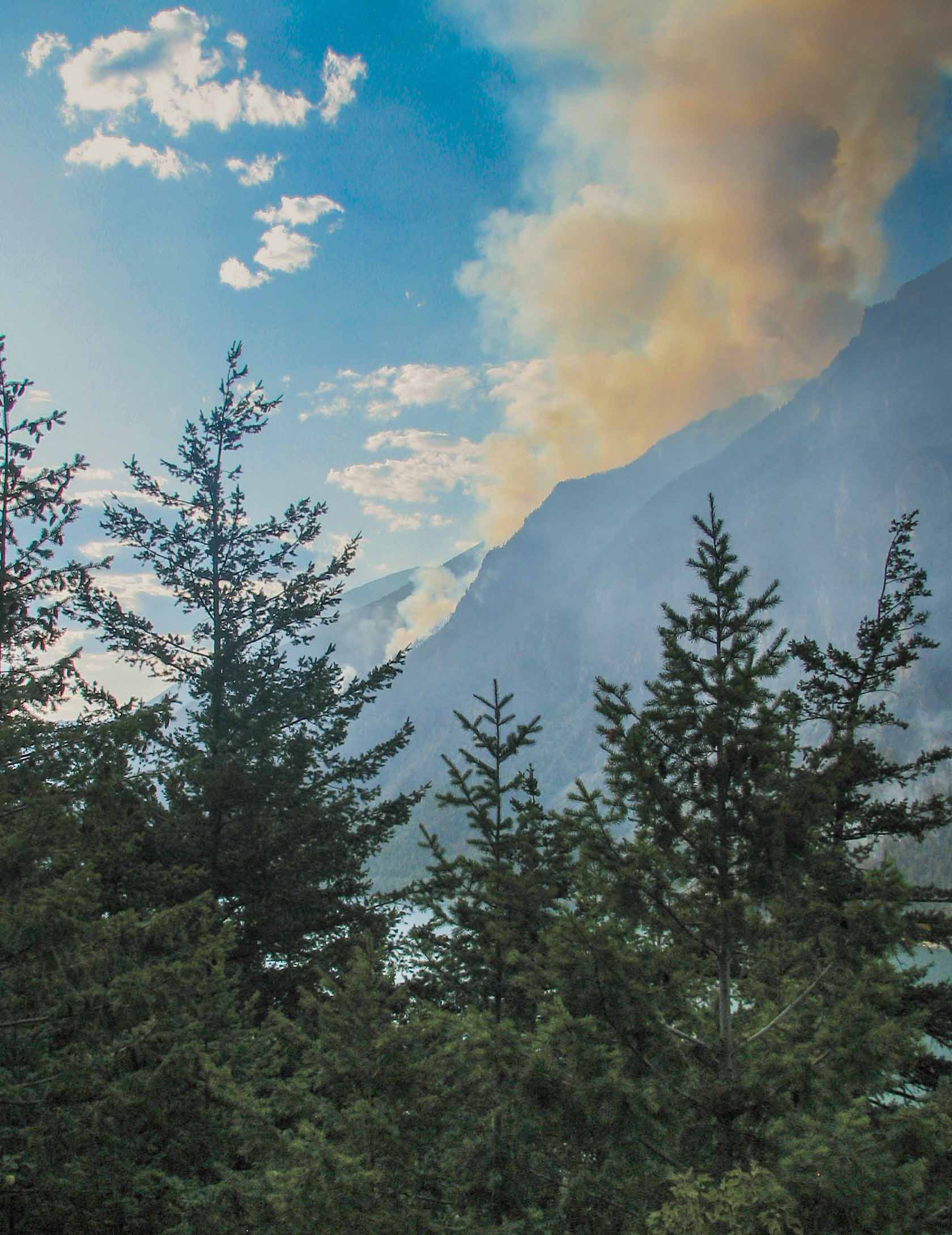 A wildfire in Washington State has crossed the border into B.C., the North Cascades National Park Service Complex says. Border 2 Fire, 2.4 kilometres east of Hozomeen just south of the Canada-U.S. border, crossed into B.C. and into the Okanogan-Wenatchee National Forest lands in the east, according to an update from the park service Wednesday (July 22). Border 1 and Border 2 wildfires combined and are now a total of 121 hectares. The fire is believed to be caused by lightning. The park service says the fire is burning in remote, steep, and densely forested and rocky terrain. Fire activity is expected to be elevated with upcoming hot, dry and windy conditions over the next few days until cooler weather conditions return to the area, the service added.





:quality(65))
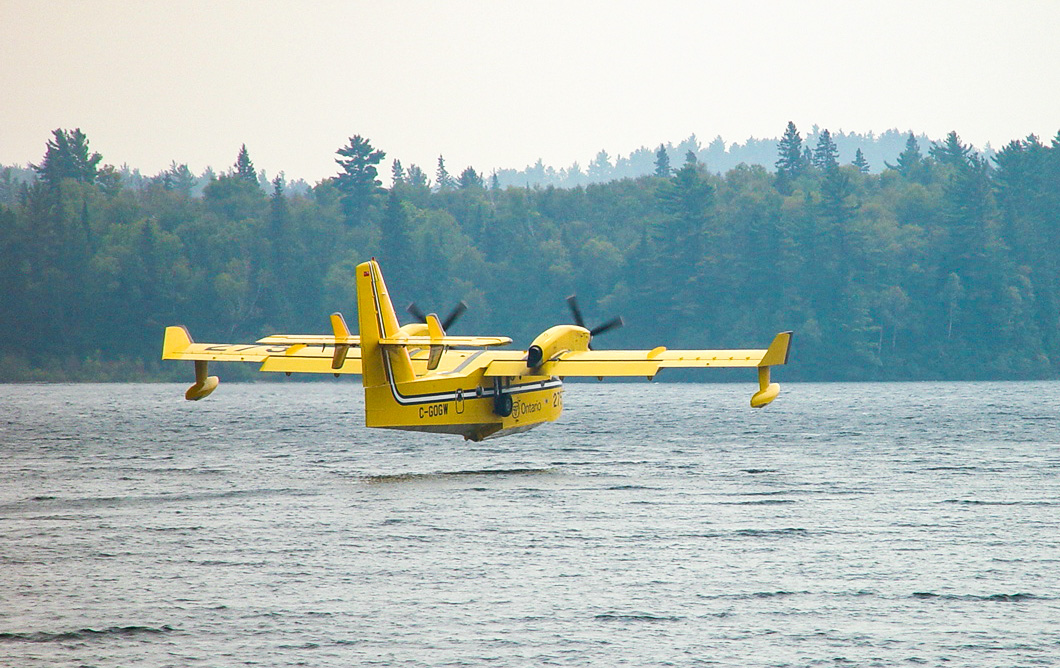 Ontario Forest Fires said there were five new wildland fires confirmed in the northeast region in its latest update issued Sunday evening. The organization also said that efforts to contain one of the fires — Cochrane 32 — were hampered by a drone flying illegally in the area. “A drone flying over Cochrane 32 tonight has grounded all firefighting aircraft in the area and delayed suppression operations,” Ontario Forest Fires said in its update. Regulations prohibit “aircraft, including drones, from the airspace over an active forest fire within 5 nautical miles and up to an altitude of 3,000 feet.” …The five new fires include Cochrane 32, which measures 2.8 hectares and is located two kilometres northwest of Harty.


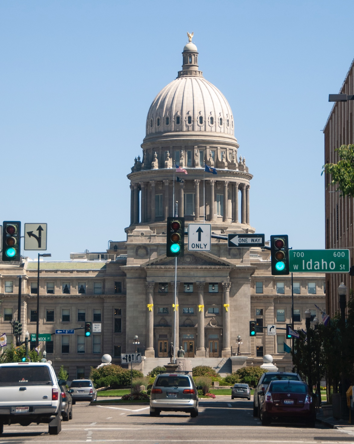 Boise Fire Department officials asked the public to leave the popular Ridge to Rivers Trail System and the Bureau of Land Management issued a temporary closure of BLM-managed public lands and trails after a wildfire started in the Boise Foothills on Monday afternoon. Just after 2 p.m. Mountain time Monday, Boise Fire Department officials announced they were responding to a grass fire that started near the 1900 block of N. Claremont Drive. As Tuesday morning, the cause of the fire was unknown and under active investigation. The fire is burning in the Boise Foothills, about two miles northwest of Boise. …The U.S Wildland Fire Service – Great Basin is referring to the fire as the Claremont Fire. The fire has burned an estimated 2,500 acres as of Tuesday morning, the service reported. …According the press release, firefighters are also facing unique challenges within portions of the area’s Military Reserve.





 BARCELONA, Spain — Firefighters in central Spain battled a wildfire on Wednesday that has burned over 32,000 hectares (79,000 acres) in one of the country’s largest blazes on record. The fire in rural Guadalajara comes less than two weeks after a deadly blaze devastated a small expat community in southern Spain. That small but extremely virulent fire killed 13 people, including several foreigners, in one of the southern European country’s deadliest wildfires. Spanish Prime Minister Pedro Sánchez on Wednesday visited the fire-ravaged area in Guadalajara, and called for a pact between political parties to fight climate change. “Year after year we clearly see how climate change kills and destroys wealth in our communities,” Sánchez said in the village of Tamajón, located less than two hours by car northeast of Madrid. “This isn’t politics. It is science, it’s about facts.”
 France has been battered by three heatwaves since May as part of increasingly common extreme weather episodes linked to climate change … and fuelling wildfires. The blaze in Le Porge, just south of Medoc wine country, had ripped through 2,400 hectares … since Wednesday, firefighters said. No casualties had been reported or homes destroyed so far. Skies in the coastal village of Le Porge, near the city of Bordeaux, were orange early on Thursday morning. Helicopters made repeated runs over houses with shuttered windows, as fire trucks rushed up and down the road. 12,000 people — tourists, as well as hundreds of residents living on the edge of the forest — had to evacuate. …Some 700 firefighters have been battling the flames on land, while several firefighting planes have been dumping water from the sky since the blaze erupted around midday on Wednesday. It then roared through the dense woodland, with flames soaring to 10 metres in some areas.
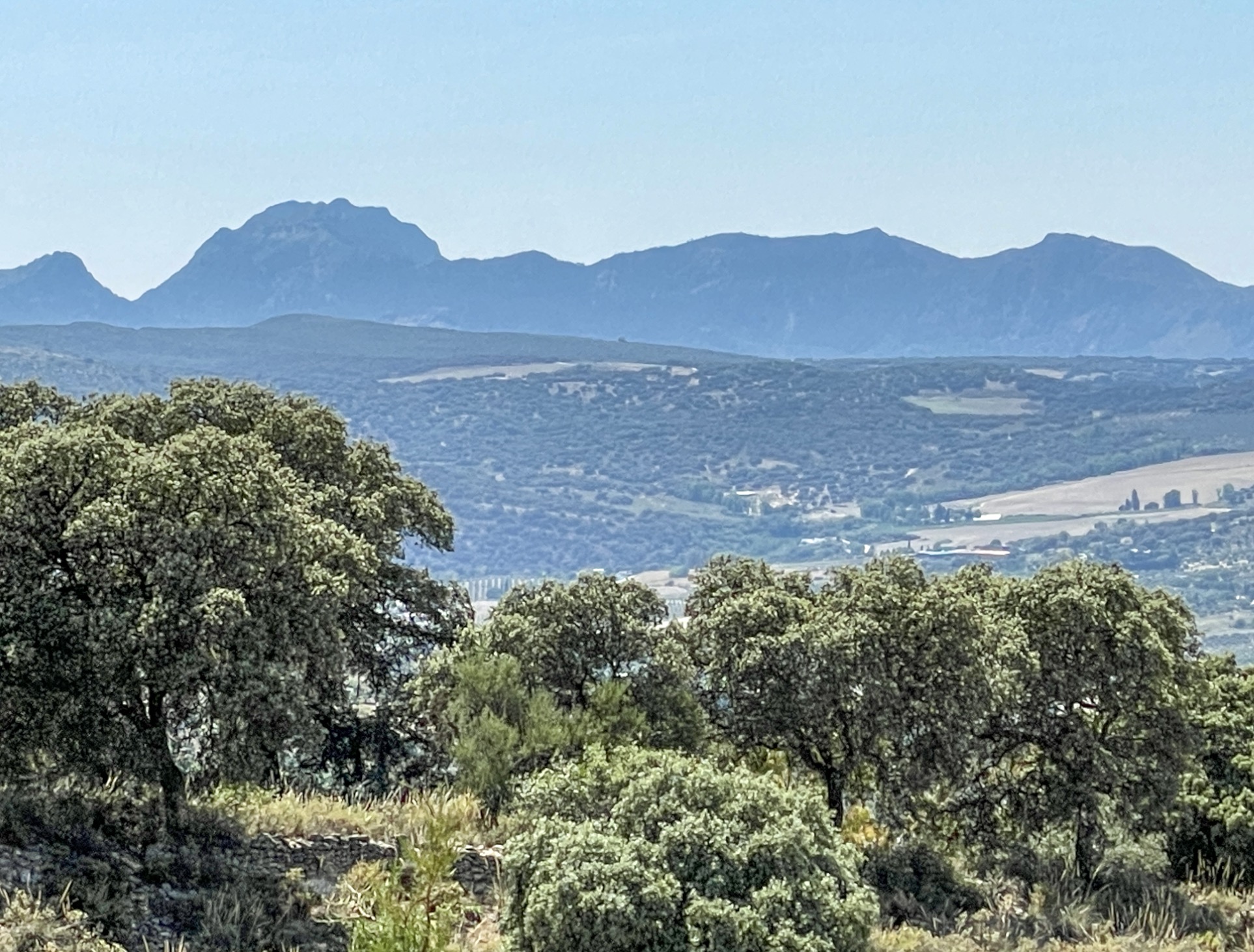 Hundreds of firefighters and soldiers were battling a massive wildfire northeast of Madrid on Tuesday that has been raging since last week. Authorities say the blaze, which broke out on Thursday in Guadalajara province about 100 kilometers (60 miles) north of Spain’s capital, is one of the most difficult they have faced and is considered the most significant wildfire to affect the country this year. “It is the most complex of those that have been tackled in recent years in Spain,” Castilla-La Mancha regional president Emiliano Garcia-Page said. Garcia-Page added that more than 600 firefighters and nearly 50 aircraft and helicopters had “practically stopped” the blaze from spreading toward the provincial capital of Soria, but that it was not yet under control. The blaze has forced some 1,200 people to evacuate from their homes across the region of Castilla-La Mancha, while at least 30,000 hectares (74,000 acres) of land have been burnt, officials said.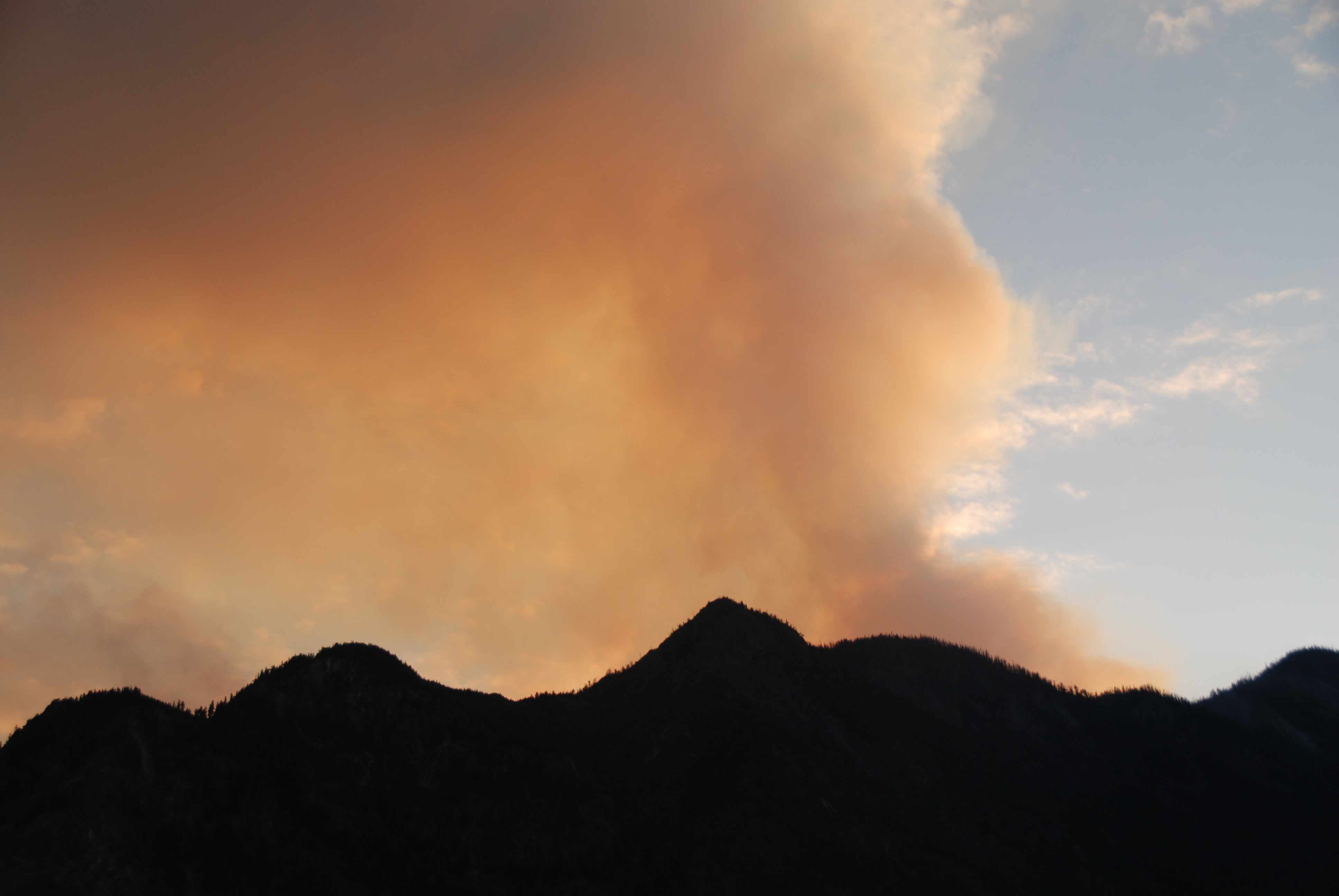


 Firefighting aircraft battled to contain a wildfire raging in a forest south of Paris for a second day on Monday, with the blaze forcing some residents from their homes as the region baked in a latest heatwave. French officials rushed two firefighting planes to the Paris region Sunday, after a fire erupted south of the French capital, disrupting traffic during a busy summer travel weekend and piling more misery on a region sweltering through its latest heatwave. The fire, which officials described as “very virulent” and of “exceptional scale”, began late afternoon in the sprawling Fontainebleau forest about 60 kilometres (40 miles) south-east of the capital, a onetime royal hunting preserve that today is dotted with quiet villages. It had raced across 800 hectares and was still spreading, officials said early Monday, causing the partial closure of the A6 highway, the country’s main north-south artery.
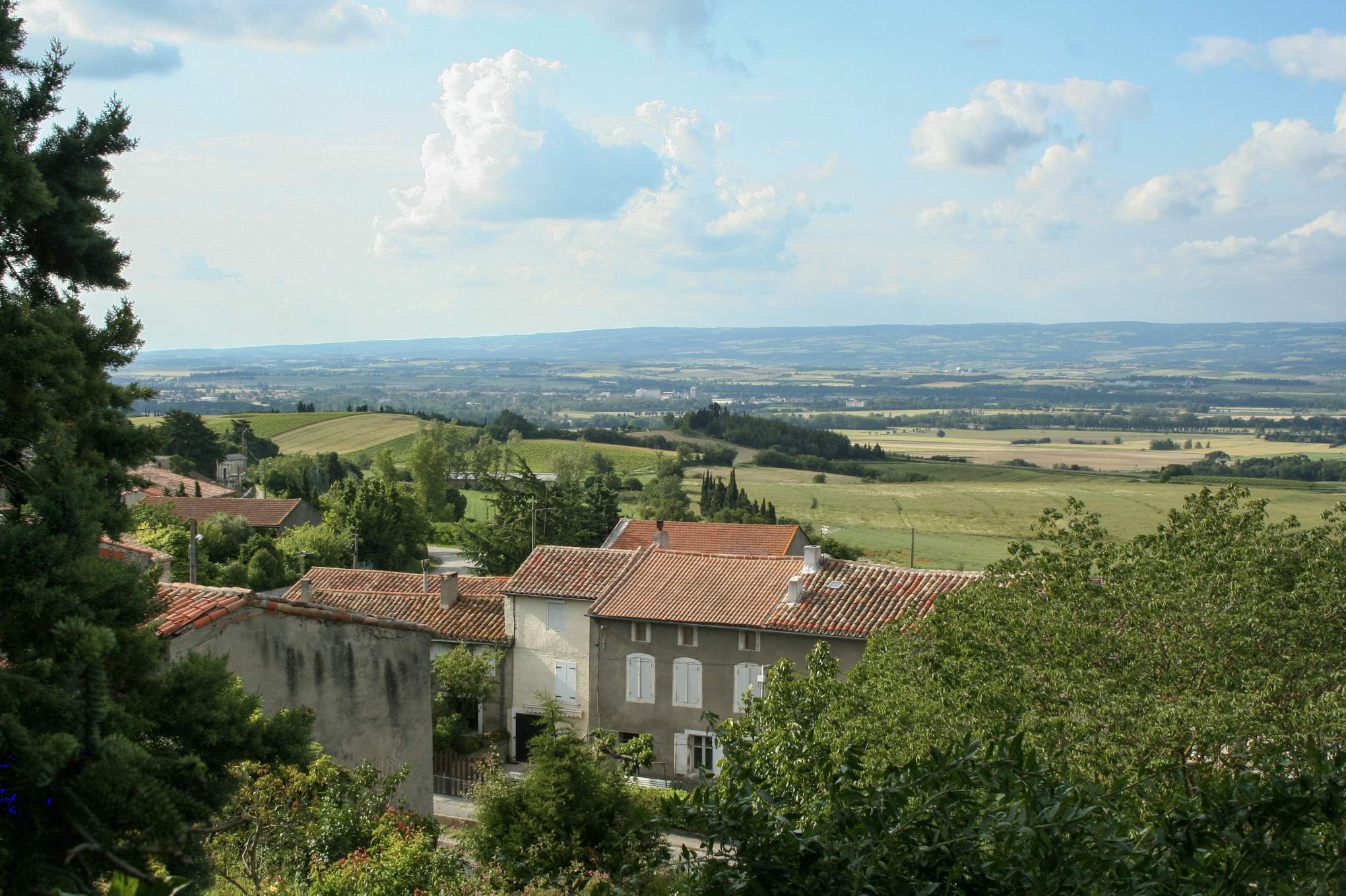 A wildfire burning out of control in southwestern France has forced the evacuation of 10,000 people from two dozen small towns and villages near the Spanish border and officials said strong winds on Monday would further fan the blaze. The European Union said on Monday it was sending four waterbombing aircraft to France from Cyprus and Sweden to help firefighters around the city of Perpignan. …The blaze has injured 16 people, including four firefighters, and scorched some 4,600 hectares in the foothills of the French Pyrenees. Early summer heat waves in France and across western Europe in May and June have scorched vast areas of land, making them particularly vulnerable to wildfires this year. The Trevillach blaze was burning near the third stage of the Tour de France, leading to its closure to the public on Monday to allow firefighters easy access to the area, according to Tour de France director Christian Prudhomme.
 Hundreds of firefighters have been battling forest infernos in heatwave-scarred Europe, as temperatures are set to rise again on Sunday, local time. The latest wildfires have already devastated more than 17,000 hectares of land across France, Spain and Portugal where temperatures in some places are forecast to reach 40C. Authorities registered