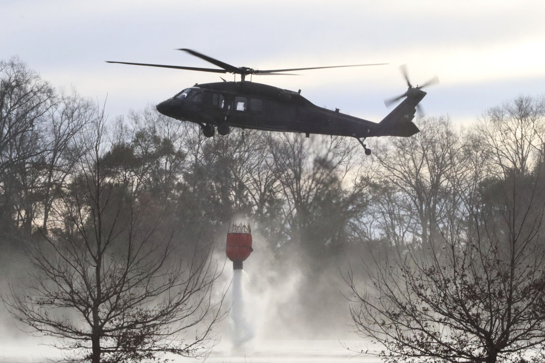
Coulson Aviation — based in Port Alberni, B.C. — operates three Boeing CH-47 Chinook helitankers with tanks that hold more than 11,000 litres, as well as an “over-watch helicopter that runs intelligence,” including thermal imaging when deployed at night. The “aerial firefight” has been essential as blistering winds have prevented groundcrews from accessing the flames, said Wayne Coulson, CEO of Coulson Aviation. Coulson said the company has dropped more than a million gallons — or 4.5 million litres — of water over the fires in the last week, 70 per cent of which was released at night… Quebec’s contribution is expanding with two more water bombers heading to California on Wednesday. Quebec’s two extra CL-415 aircraft bring the province’s total California aid package to four water bombers, 12 pilots and six technicians.
 Alberta will join other Canadian provinces helping battle raging wildfires in Los Angeles, the largest in the California city’s history. The province announced Thursday it’s preparing to deploy an incident command team and additional wildfire-fighting resources to support California, including water bombers and night-vision helicopters. Thousands of firefighters have been battling roaring flames that have left neighbourhoods in ruin and burned thousands of structures, while killing at least five people. “Good neighbours are always there for each other in times of need, and we will assist our American friends in any way they need during this crisis,” Premier Danielle Smith wrote on X. …In fighting the Palisades fire, the Los Angeles water system “buckled” under the demand, as some hydrants ran dry, hindering firefighting efforts. According to the Los Angeles Times, more than 2,000 structures have burned and at least 130,000 residents are under evacuation orders due to the wildfires.
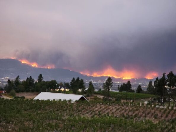 Jason Brolund, the fire chief in West Kelowna, a community devastated by a fast-moving wildfire in 2023 says it’s “haunting” to see similar circumstances playing out in Southern California. Brolund says the images from the Los Angeles area … are so familiar and vivid that some of his firefighters won’t look at them. West Kelowna bore the brunt of the McDougall Creek fire in August 2023, when it descended on neighbourhoods surrounding Okanagan Lake and destroyed or damaged almost 200 properties. In Southern California, flames fanned by high winds have devastated communities, spreading in a manner similar to what West Kelowna encountered in 2023. …”We watch California closely,” Brolund says. “We have for many years. They are considered a bellwether — what they are experiencing now, potentially five to 10 years (from) now, could be something that we see in our region.
 OTTAWA – Emergency Preparedness Minister Harjit Sajjan says dozens of firefighters from Alberta and British Columbia will help fight wildfires in California, and the federal government is co-ordinating efforts with the provinces to deploy resources. Sajjan says in a social media post that 60 firefighters from the two provinces will be deployed as soon as Monday, and that Canadian officials are working to identify and prepare more resources to send in the days ahead. He says in the post that, “Our American friends have asked for help to fight the wildfires in California and Team Canada is responding,” and he concludes with, “Neighbours helping neighbours.” A spokeswoman for Sajjan confirms in an email that Canada has received and approved an official request for help. Alberta announced last week that it is sending up to 40 wildland firefighters with more personnel, waterbombers and contracted night-vision helicopters ready to deploy.
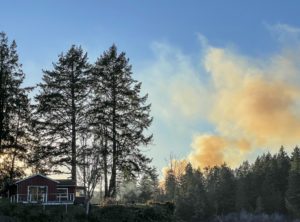 Oregon firefighters arrived Sunday in North Carolina to assist in fighting wildfires that have burned thousands of acres in the western part of the state. The Oregon Department of Forestry sent 26 firefighters and two agency representatives for a two-week rotation in North Carolina. Many of the Oregon firefighters were assigned to the Black Cove Fire. The fire was first reported March 19. The Black Cove Fire in North Carolina’s Polk County has forced evacuations and is one of the largest in the western part of the state. Along with the Deep Woods Fire, burning in the Green River Gorge, a combined 4,621 acres were burning with 0% containment as of Sunday evening, according to the North Carolina Forest Service. …The firefighters were sent under a mutual assistance agreement between Oregon and North Carolina.
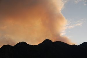 PACIFIC PALISADES, California − Firefighters were progressing in their battle against two massive wildfires as winds eased early Thursday, bringing a respite to frustrated and beleaguered residents across Los Angeles County who have been on edge for over a week. All “particularly dangerous situation” red flag warnings largely expired by Wednesday night without causing any significant fire growth, according to the National Weather Service. But dry conditions and locally gusty winds were forecast to linger into Thursday − particularly in the mountains, the weather service warned. According to the weather services, temperatures were also expected to drop five to 10 degrees below normal for the remainder of the week, and Friday is predicted to be the coldest. “Good news,” the weather service’s Los Angeles office said. “Bad News: Next week is a concern. While confident that we will NOT see a repeat of last week, dangerous fire weather conditions are expected.”
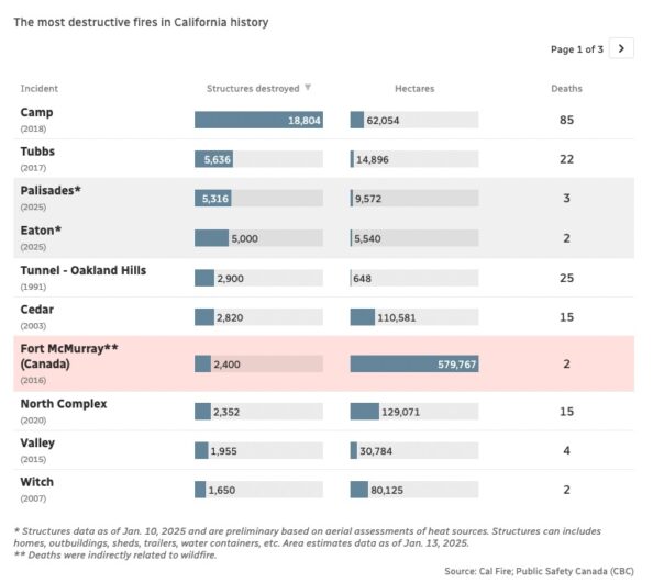 Foreboding weather forecasts keep tensions high in Los Angeles as one of North America’s largest cities battles wildfires that have already claimed at least two dozen lives and thousands of homes. Here are some data points that put into context the peril the city is in. The most destructive fires in California history — and how they compare to Canada’s largest wildfire: Palisades and Eaton fires are already among the most destructive in California’s history, scorching more than 10,000 structures in just a matter of days. With persistent winds in the forecast, those numbers could climb even higher. For context, Canada’s most devastating wildfire — in Fort McMurray, Alta., in 2016—destroyed an estimated 2,400 structures.
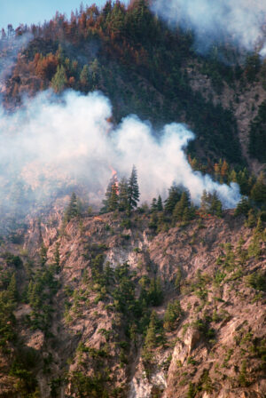 Fires burning homes and businesses in Los Angeles for a week have killed at least 24 people, displaced thousands of others and destroyed more than 12,000 buildings in what might be the most expensive conflagrations in the nation’s history. The blazes started Jan. 7, fueled by fierce Santa Ana winds that have posed problems for the large forces of firefighters deployed across several areas of the sprawling city. Cal Fire reported that the Palisades, Eaton, Kenneth and Hurst fires have consumed about 63 square miles (163 square kilometers). Investigators are still trying to determine what sparked the fires. They could be the nation’s costliest ever.
 At least a half-dozen large wildfires continued to burn in the Blue Ridge Mountains of South Carolina and North Carolina on Thursday, leading to states of emergency and evacuations as firefighters deployed from other parts of the US to help bring the blazes under control. In North Carolina, progress was being made in containing two of the largest wildfires burning in the mountains, but officials warned that fire danger remained from dry and windy conditions. The news was worse in South Carolina, where two fires nearly doubled in size on Wednesday. Hundreds of people have been asked to leave their homes in the two states. Wednesday’s dry weather led to several new fires in western North Carolina and prompted the state’s governor, Josh Stein, to declare a state of emergency in 34 western counties. At least nine fires were active in that part of the state, officials said.
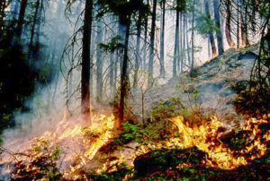 Wildfires forced a mandatory evacuation Sunday in a North Carolina county still recovering from Hurricane Helene, and South Carolina’s governor declared an emergency in response to a growing wildfire in that state. Hundreds of miles north, the New Jersey Forest Fire Service was battling a blaze in the Wharton State Forest. The North Carolina Department of Public Safety announced a mandatory evacuation starting at 8:20 p.m. Saturday for parts of Polk County in western North Carolina about 80 miles west of Charlotte. A shelter had been established in Columbus, North Carolina. …Also this weekend, the New Jersey Forest Fire Service has been battling a wildfire that broke out in the Wharton State Forest on Saturday. The fire had consumed about 2.7 square miles as of early Sunday morning and was about 50% contained, according to an 8 a.m. update.
 KANSAS CITY, Mo. — An extreme fire danger continues to affect all counties across Kansas this week, and Missouri is also under a high fire danger this week. In Missouri, there were more than 40 wildfires burning across the state as of Monday morning. In Kansas, there were four — one burning across 1,500 acres east of Winfield and another spanning 1,200 acres west of Dover. “This week brings continued high fire danger across the state,” the Forest Service said. “Unfortunately, this is just the beginning of fire season.” In preparation for the fire danger this week, the Forest Service said it’s coordinated with the Great Plains Interstate Fire Compact to bring in reinforcements from out of state — including Wyoming and Utah.



 Authorities in Japan have warned that the country’s biggest wildfire in decades is likely to spread, after it damaged dozens of homes and forced more than 1,000 people to flee. Fires continued to rage a week after they broke out in the city of Ofunato, on the north-east coast, with weather officials speculating that this year’s unusually dry winter and strong winds were to blame. As of Monday, the fire had spread through about 2,100 hectares of land, damaged 84 homes and forced 1,200 residents to take refuge in school gymnasiums and other shelters. A further 2,000 are staying with friends or relatives. …More than 2,000 self-defence force [SDF] troops and firefighters have struggled to control the flames as they spread through heavily forested mountainous areas bordering Ofunato, which was among communities destroyed in the March 2011 earthquake and tsunami.
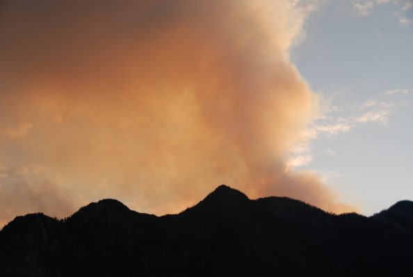 MORIOKA, JAPAN — One person has died, and more than 80 homes appear to have burned down after a wildfire broke out in a northeastern Japan city, local authorities said Thursday, as the region faced its third fire in about a week. Since Wednesday, the blaze has scorched more than 600 hectares in Ofunato, Iwate Prefecture, the municipal government said. With the fire still spreading, about 3,300 residents have been ordered to evacuate. Firefighters battled the blaze through the night, while helicopters were deployed in the morning to contain it from the air. The Fire and Disaster Management Agency requested emergency support from firefighting departments in eight nearby prefectures, and they sent about 690 personnel combined. …Efforts to contain the blaze Wednesday were carried out at ground level as the strong winds precluded waterbombing by helicopters. When the latest fire broke out, strong wind and dry air warnings were in place in the area.