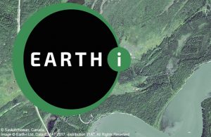
 EARTH-i today announced that it has been appointed by the Ministry of Environment for the Province of Saskatchewan to help monitor the logging of trees across a forested area of some 3500km². Earth-i will be supplying high-resolution images that will enable the Ministry to prevent illegal logging – and ensure sustainability and compliance. Canada is the world’s largest exporter of softwood lumber. Its forests account for 9% of the world’s forest cover and 40% of the world’s sustainably managed forests. To help protect its commercial forests from over-harvesting, Saskatchewan’s Ministry of Environment has been using satellite images for several years.