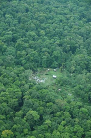
 Tropical forests span 1.6 billion hectares of Earth. …But over the past two decades, an average of 10 million hectares of these forests have been lost each year, according to the United Nations Environment Programme, affecting the ecosystems and communities that depend on them. NASA scientists recently developed a new method for tracking tropical forest loss that delivers deforestation alerts more than three months faster than current methods. Although the technique was designed for the Amazon rainforest, data from a recently launched satellite are expected to expand its application globally. …To address Landsat’s cloud challenge, researchers at NASA’s Marshall Space Flight Center tuned into a different wavelength. Led by Africa Flores-Anderson, associate program manager for NASA’s Ecosystem Conservation Program, the team piloted a system for the Amazon that combines existing satellite-based approaches with cutting-edge radar data. …Synthetic aperture radar (SAR) doesn’t require daylight or clear skies.