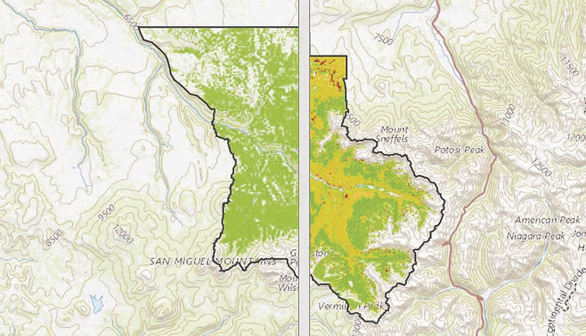
 The Upper San Miguel Basin Forest Health Landscape Assessment team will unveil a tool … created to show current and projected forest conditions in the area. …The tool, called the “Forest in Flux” map, is an interactive series of story maps that visualize “current forest conditions and projected forest conditions” by utilizing climate models, according to Elizabeth Stuffings, program coordinator for the assessment. As one example, the maps show a significant decline in aspen populations in 2060, with the tree projected to die out in “much of its current range,” as the map indicates. “It is a pretty strong visual,” Stuffings said, “and with our use of climate modeling there is a lot of uncertainty … but there is a potential for significant change.”