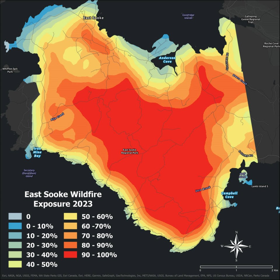
 Residents in electoral areas around the Capital Regional District and Islands Trust can now consult a new series of maps that chart wildfire risk linked to the vegetation. It’s a new approach for the two organizations, which said the mapping is developed “through a simple scientific approach that identifies where wildfires are most likely to impact developed areas.” Electoral areas are communities situated outside of municipalities, and tend to be referred to as rural or unincorporated. Severe wildfire activity around the province coupled with dry conditions over the summer raised residents’ concerns. …The new maps have been made for the Juan de Fuca Electoral Area, the southern Gulf Islands and Salt Spring Island. Juan de Fuca district maps include Port Renfrew, Shirley, Otter Point, East Sooke and Willis Point, while the southern Gulf Islands maps feature Galiano Island, Mayne Island, Pender Island and Saturna Island.