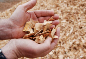
Alaska — Ukpeaġvik Iñupiat Corporation (UIC) officially launched Tundra Timber on Sept. 28, opening a new company under its Arctic Operations & Development (AO&D) division. Tundra Timber will provide locally available construction materials for UIC shareholders and the broader community, including residents, contractors, organizations, and businesses in Utqiaġvik and across the North Slope. The grand opening marked the culmination of more than a year of planning, procurement, logistics, transportation, coordination, and operational work to establish the new business and bring more than 750,000 pounds of lumber and building materials to Utqiaġvik. The effort brought together teams from across UIC and key partners including Issaquah Lumber, the Iñupiat Community of the Arctic Slope (ICAS), and fellow UIC subsidiary Bowhead Transport. …The new lumber supply business responds directly to needs UIC has heard repeatedly from its shareholders and the Utqiaġvik and North Slope community.


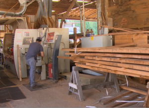 Washington businesses are bracing for the impact of Canadian tariffs on American goods. One of the state’s largest industries, lumber, is already feeling the pressure. One company says uncertainty over trade policy is raising the cost of imported materials, weakening demand, and making it harder to budget projects. Tariffs might be a short term thing, but the repercussions of them play out for years. Canada is Washington’s 2nd largest export market with more than $7 billion in goods shipped north of the border last year. Governor Bob Ferguson says exports have already topped $4 billion this year. [.5 min video]


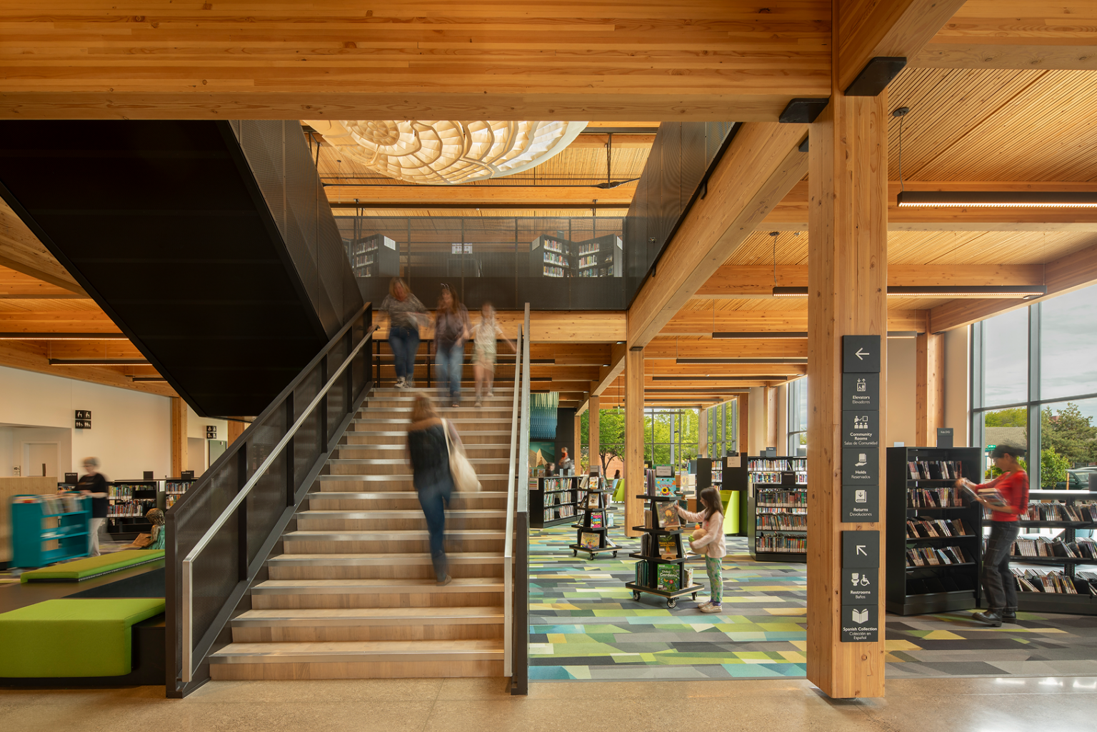
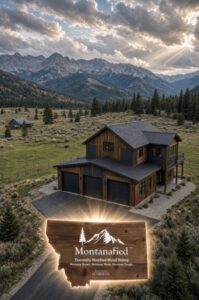
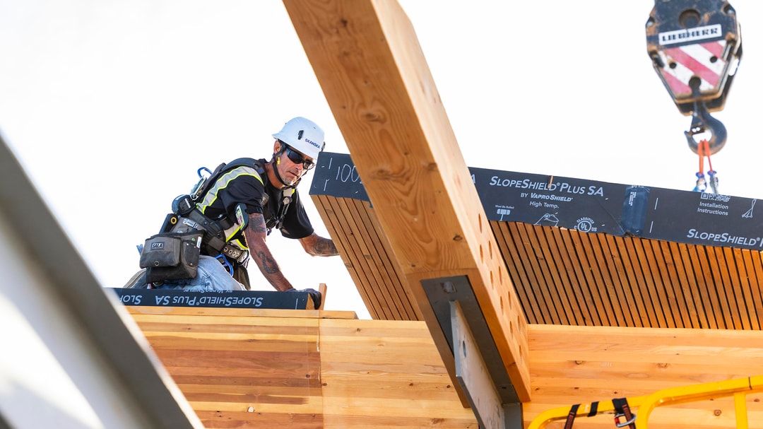



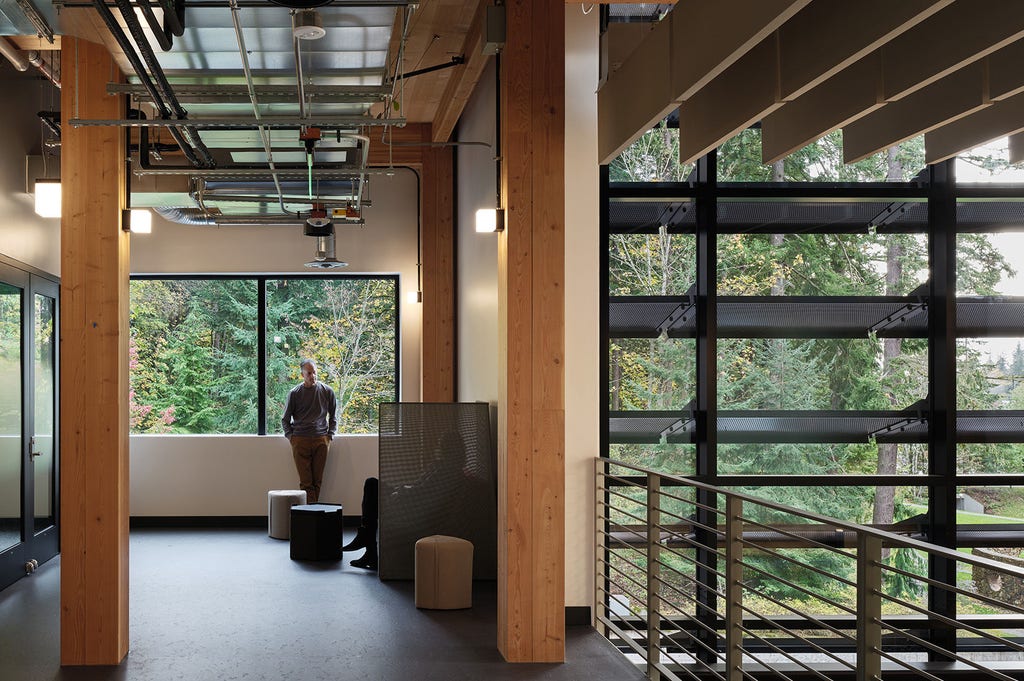


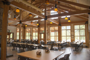 SEATTLE — Architect Susan Jones says …“For most of the 20th century, the architecture community has been separated from the origins of the materials we build with”. …Jones, along with a growing chorus of architects, engineers and forestry experts in Seattle and beyond, believes building with wood is better for our cities, and for our forests. …Mass timber buildings offer a more sustainable path forward. Steel and concrete release large amounts of greenhouse gases. …Erica Spiritos at the










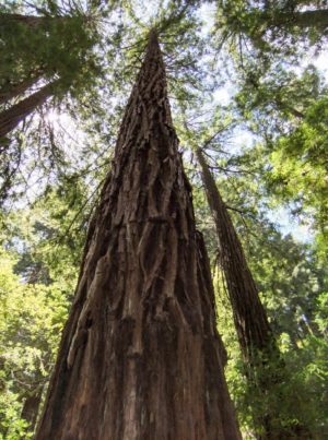 A California group said in an Instagram post that it had located the largest redwood tree on Earth following a two-year search. While celebrating the remarkable tree, the post also provides a reminder that awe-inspiring forests are not guaranteed to last, especially as old-growth habitat continues to disappear. In its post, Sacramento Food Forest described an old-growth coastal redwood as having a “base width of 116 feet,” and said it is “over 1,500 years old and 310 feet tall.” It also claimed the tree is wider at the base than “the largest tree in the world, a giant sequoia named General Sherman.” While these precise claims aren’t fully verified, the post included a video showing the tree’s remarkable size. Sacramento Food Forest said larger redwoods once occupied a 2 million-acre coastal band before widespread logging drastically shrank that area.
 For harvesting to be profitable on the scale necessary, we need a competitive market for logs, and our forest products industry was decimated with the earlier cessation of harvesting on federal lands. Today, 25% of our lumber supply, worth about $19.7 billion, is imported from Canada. While we ignored our federal forests, the Canadians have been exhausting their easier pickings. With only difficult sites left, they are cutting back, with more cutbacks planned in the future. In the last decade, lumber production there has decreased by 55%. This is an opportunity that we need to capitalize on. By reestablishing a modest forest products industry, we could create a market for the material we need to thin and harvest. Were we to replace the Canadian lumber with domestically produced lumber, the downstream financial stimulus could add an additional $39.4 billion to our GDP. …Let’s consider some of the possible end products for the thinned and harvested timber.
 Officially known as “inventoried roadless areas,” roadless areas are protected under a federal rule enacted 25 years ago that generally prohibits logging and road-building. In Montana they cover about one-third of the state’s 17 million acres of public land administered by the U.S. Forest Service. …The original intent of the 2001 Roadless Area Conservation Rule, in part, was to curb the spread of roads and development into the agency’s wildest landscapes. It was also a recognition that the Forest Service’s sprawling road network — today comprising 368,000 miles — was already beyond its capacity to maintain. …President Donald Trump’s administration announced last summer it would move to rescind that roadless rule, effectively returning those lands to the land-use designations established by each individual national forest. Last month, the U.S. Department of Agriculture, which oversees the Forest Service, released a



 PORTLAND — Sustainable Northwest (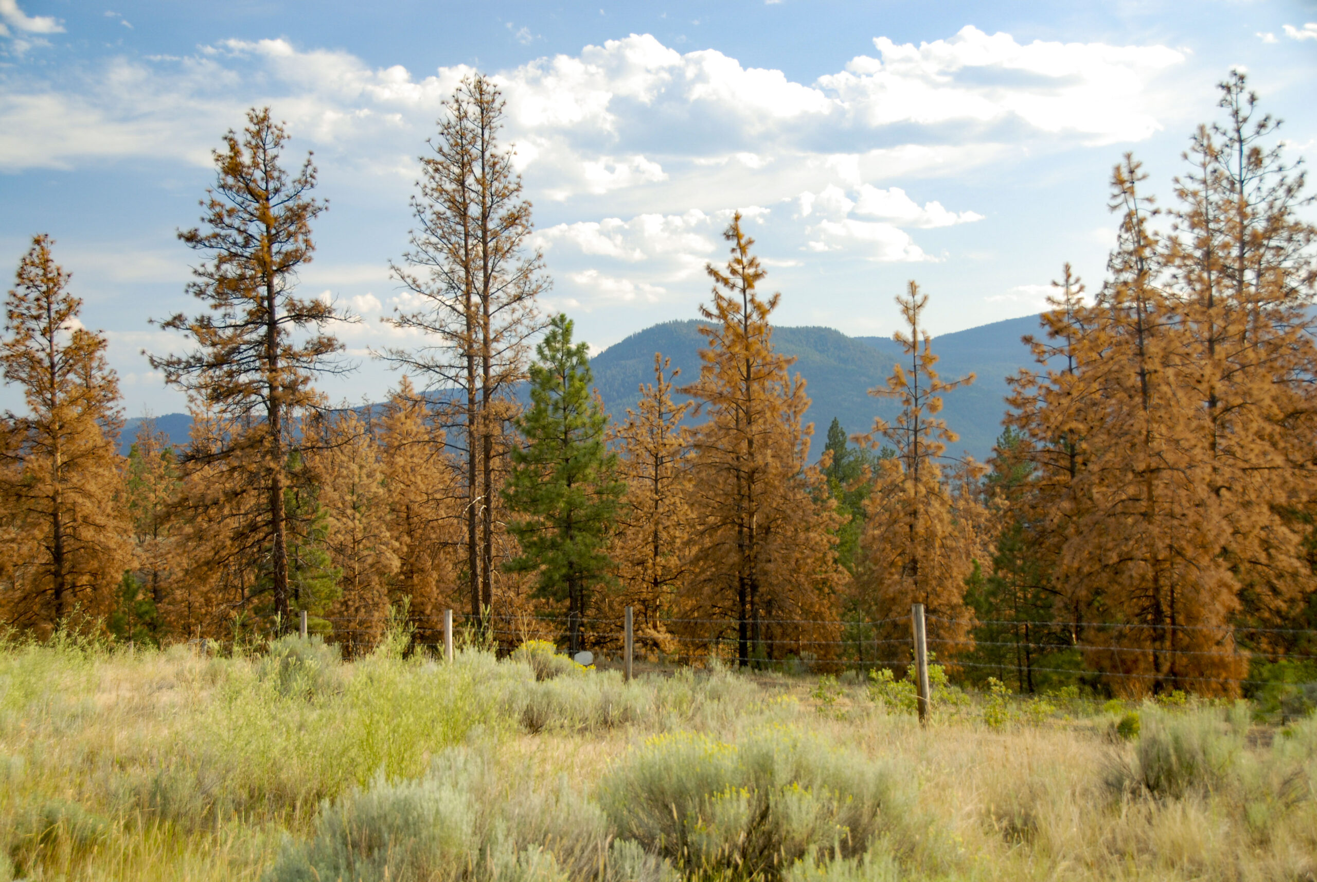
 The recent Public Forum letter criticizing the Fix Our Forests Act (FOFA) raises legitimate concerns about protecting forests and addressing climate change. But portraying the bipartisan legislation primarily as an effort to expedite logging misses much of what the bill is intended to accomplish. Climate change is making wildfires more dangerous. …We need to address both problems. Recent research provides a striking example. Scientists examined 164 forest plots burned during California’s massive 2021 Dixie Fire. In untreated forests, there was a 58% probability that every tree in a plot would be killed. Thinning alone lowered that risk to 48%. But where thinning had been followed by prescribed fire, the probability of complete tree mortality fell to just 4%. That distinction matters. Responsible forest management is not simply another name for logging. The research suggests that thinning alone provides limited protection unless surface fuels are also addressed. Prescribed fire was a critical part of the treatment.
 There is a giant misconception regarding the way we manage our forests here in Northern California. …Recently, there has been a lot of talk of two harvest plans in the Charlie Creek area of Branscomb. I’m very familiar with this area and the work being done around it. An organization has sued Calfire over approved harvest plans that surround Charlie Creek. So I simply want to lay out what is being said by the organization’s website, in local news outlets, and what is actually occurring. First off, every timber harvest plan in the state of California goes through an extremely rigorous process before work begins. …The “experts “ from the other side who claim the whole mountain is gonna fall into the creek, have never set foot or eye on plan area. …The two Branscomb harvest plans currently in the courts are fully compliant following the strictest regulations …Here is the truth about the two plans in lawsuit.
 The agency gave the public one week to weigh in on plans to log 5,000 acres of the Akawa Butte Fire burn area. The Trump administration is seeking to fast-track logging in forests recently burned by wildfires in a policy shift that’s starting with Central Oregon. The U.S. Forest Service aims to log about 5,000 acres in the Deschutes National Forest where the Akawa Butte Fire burned this summer. The agency gave tribes, counties and the public just one week to weigh in, with a deadline of just before midnight Monday. Similar projects typically include a 30-day public comment period. The proposal to log the Akawa Butte Fire burn area relies on a new policy that allows the Forest Service to fast-track logging recently burned forests. Forest Service officials say they need to act quickly to remove dead and dying trees that could become fire fuel later on. …Environmental groups say the Forest Service is rushing a sensitive process.
 Oregon — U.S. Sen. Jeff Merkley and Rep. Andrea Salinas have introduced legislation that would transfer 18,626 acres of federal forestland to the Confederated Tribes of Grand Ronde, a federally recognized tribe in western Oregon, amid concerns from conservation groups about the extent of logging and potential impacts to wildlife habitat. The legislation is part of a larger push by tribes across the U.S. to regain ancestral lands. Such land transfers have been rare in Oregon, where tribes retain only a small fraction of their historic territories. The bill is backed by all seven Democrats in Oregon’s congressional delegation who said it addresses historic dispossession and will allow the tribe to sustainably manage the land and boost economic opportunity in the region. Other supporters are U.S. Senator Ron Wyden and representatives Suzanne Bonamici, Val Hoyle, Maxine Dexter and Janelle Bynum. [A subscription to the Oregonian is required for full access]
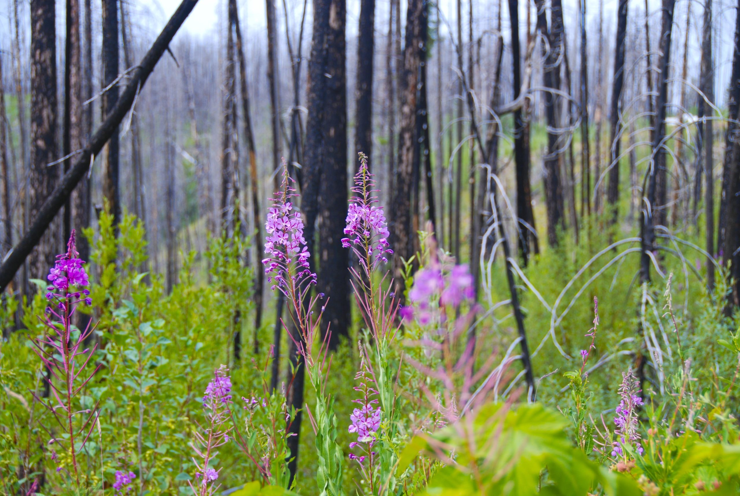
 COLORADO—Six years ago, forest ecologist Marin Chambers looked toward the mountains with trepidation as a massive plume of smoke filled the sky above the largest wildfire in Colorado’s history. In June, she looked for clues to what the future forest might look like. …There is no guarantee that this high-elevation forest will come back as it was before. Many of the spruce trees were dead well before the fire hit, victims of an earlier beetle outbreak. The massive blaze killed much of what remained, burning so fiercely that vast swaths of land within the 845-square-kilometer burn scar were left with no living trees, limiting the cone crop needed to seed the next generation. A changing climate could pose a further obstacle to recovery. …Already there are signs that forest managers can’t count on natural recovery. …To prevent that transformation, some ecologists have proposed employing a forceful intervention called assisted migration.


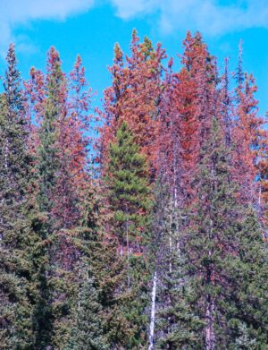 UNIVERSITY of UTAH — A satellite instrument built to track air pollution has turned out to be a useful early-warning sensor for dying forests. In work covered on 13 September 2026 by Scienmag and published earlier that month by the
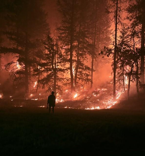
 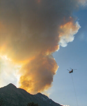 Oregon lawmakers on Sept. 10 approved $123 million to help cover costs from a wildfire season that burned more acres than any year in modern history. The Oregon Legislature’s Joint Emergency Board agreed to allocate $122.8 million to cover costs of fighting blazes that have burned 2.5 million acres, largely in the central and eastern parts of the state. …The 20-member joint committee can allocate funding when the full Legislature isn’t in session. It sent $108 million to the Oregon Department of Forestry, which fights wildland fires, and $15 million to the Department of the State Fire Marshal, which normally works to protect homes from blazes. …While this season saw a record number of acres burned, surpassing the record previously set in 2024, the season still pales in comparison to the impact of the 2020 Labor Day Fires, which burned fewer acres but destroyed far more homes and infrastructure and took 11 lives.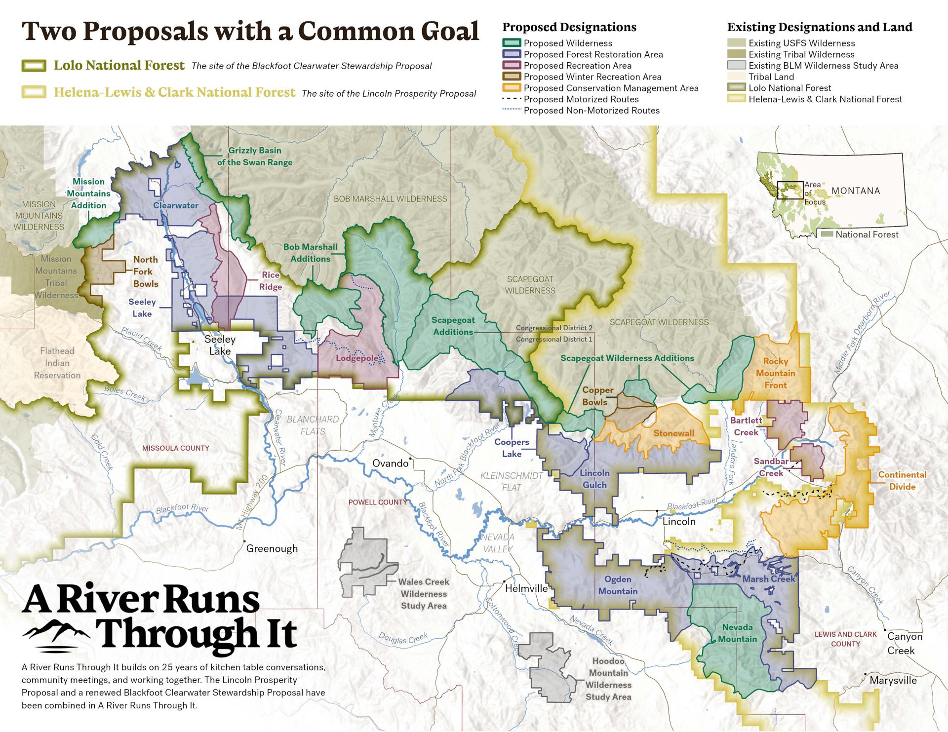
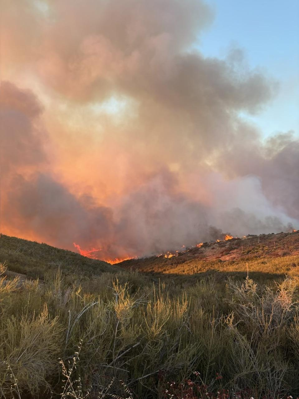
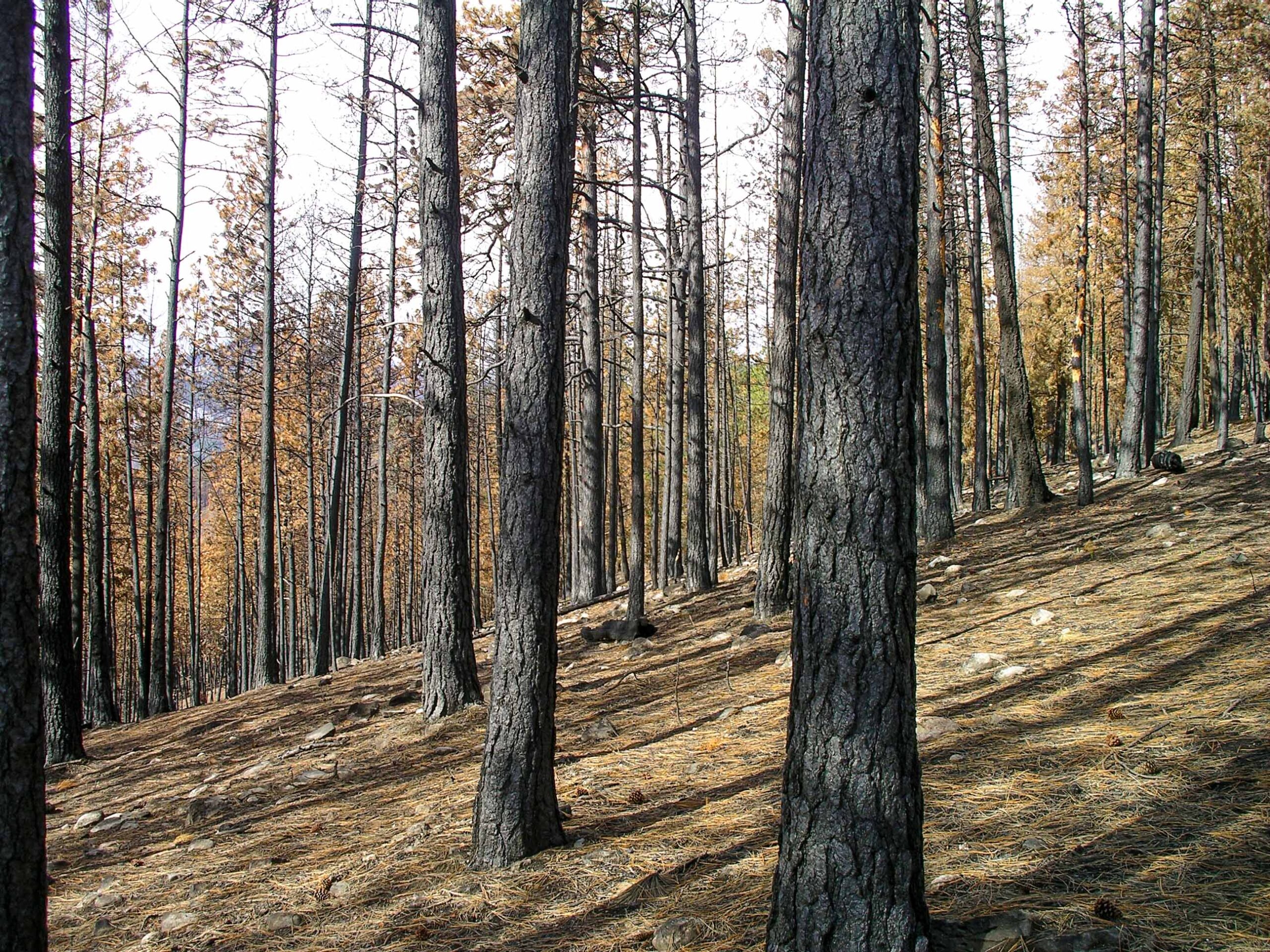 EUGENE, Ore. — After more than 2.5 million acres burned across Oregon this fire season, forestry and agriculture experts gathered in Eugene Thursday to discuss ways to prevent another record-breaking year. The Healthy Forests Roundtable at the Veterans Memorial Association building focused on what participants described as a need to shift more attention toward wildfire prevention and forest management. One of the main solutions discussed was thinning forests to reduce the amount of fuel available to burn. Participants said removing excess trees and vegetation can make forests more resilient when fires start. But they also pointed to a challenge facing that work: Oregon has fewer mills available to process timber removed from forests. …The roundtable also highlighted what participants described as a disconnect between state and federal forest management. Harvests on federal lands have dropped 90% since 1990, according to information presented during the discussion.
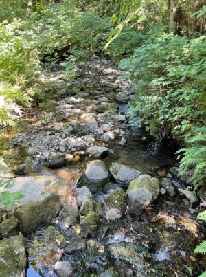 A Thurston County, Washington, judge stayed a rule requiring larger riparian buffers on Western Washington timberland, putting on hold a regulation that would take 200,000 acres out of production. Superior Court Judge Christine Schaller on Sept. 3 granted a motion by two timber groups to stay the rule while they challenged the bigger buffers in the Court of Appeals Division II. The timber groups argue the expanded buffers will have negligible environmental benefits, while causing financial hardship to timberland owners and rural economies. …Schaller in August upheld the bigger buffers, saying she found no grounds to overrule the Forest Practices Board. The judge, however, acknowledged that the larger buffers will cause financial hardship and that the appeals court will review her decision. …The board adopted the bigger buffers in a 7-5 vote last year. The Washington Forest Protection Association and Washington Farm Forestry Association are challenging the buffers.
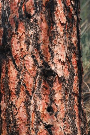 BOULDER, Colorado — To walk deep into the mountain forests at the doorstep of the Rocky Mountains, is to encounter the fragrant majesty of century-old ponderosa pine trees famous for lining ski slopes, National Park trails and residential neighborhoods. Now, those iconic Colorado trees — already under strain from record heat and prolonged drought — are threatened by a rapidly growing outbreak of silent killers: the mountain pine beetle. The mountain pine beetle is the size of a grain of rice but can inflict colossal harm to forests. …More than 700,000 acres in Colorado are affected, officials say. Climate change is blamed for supercharging the emerging outbreak, with no end in sight. …The cost of responding to the pine beetle outbreak, along with the financial impacts from other climate-change influenced environmental threats, are at the heart of a major
  States and cities sued the Trump administration Thursday for repealing rules that limit planet-warming
 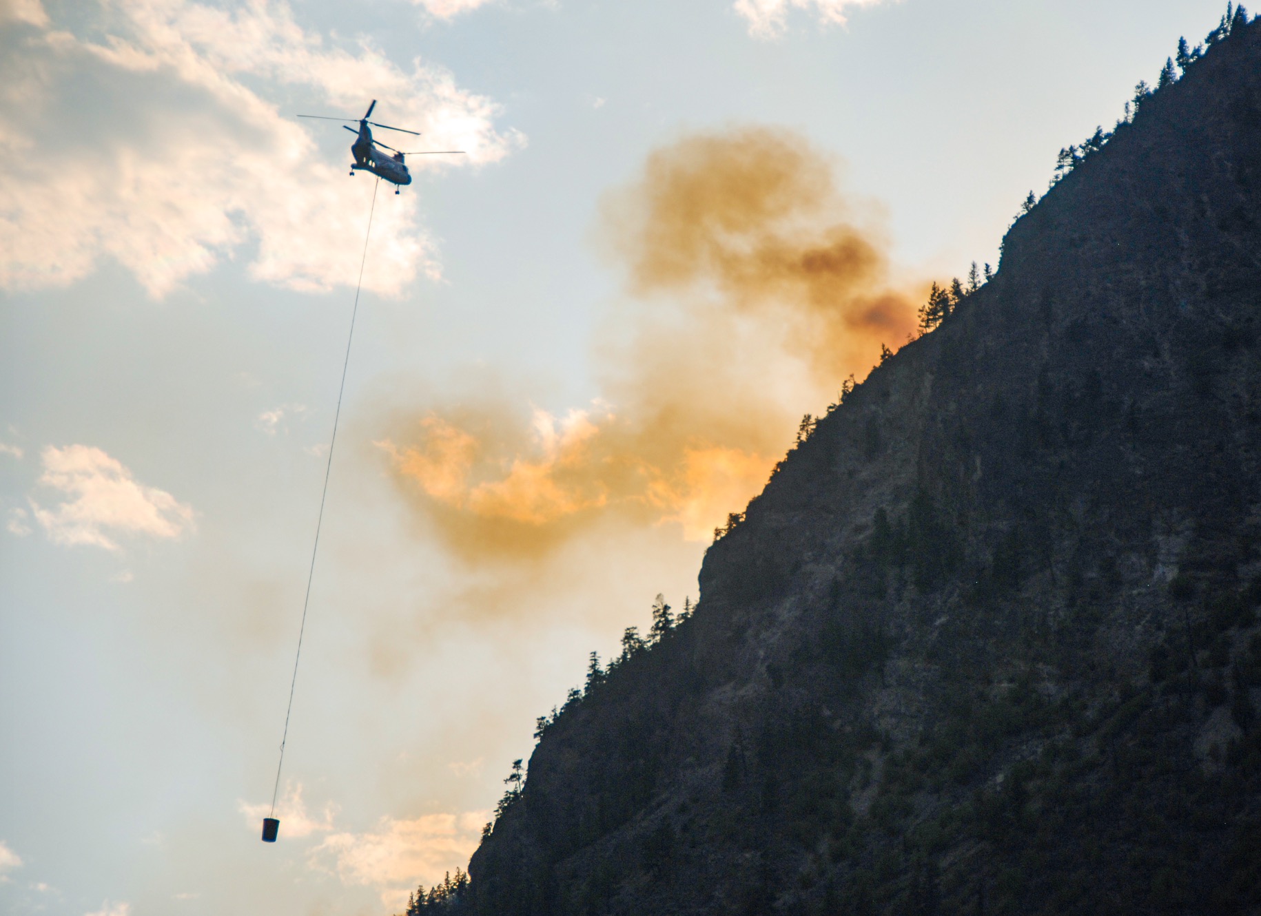 The wildfires that have raged across Oregon and Washington this year burned millions of acres. But beyond the immediate destruction, the fires have destroyed something less visible: tens of millions of dollars in California carbon credits, paid for by businesses and consumers under the state’s climate mandates. The fires have scorched tens of thousands of acres enrolled in forest-carbon projects under California’s cap-and-trade program. The system allows companies to meet part of the state’s climate rules by purchasing credits from forest owners… sometimes outside of the state. The destruction is the latest evidence that California’s forest-offset program is ineffective at best, counterproductive at worst. …California has tried to account for wildfire risks by establishing a “buffer pool,” to which each project is required to contribute as a kind of insurance policy. When a fire destroys a forest-carbon project, credits from the pool are canceled to cover the loss. But this approach has proven inadequate.