 THUNDER BAY — Tuesday was the busiest day of what has already been a hectic few weeks for forest firefighters in Northwestern Ontario. The Aviation, Forest Fires and Emergency Services agency reported 70 new fires as of 8:37 p.m. EDT. That brought the number of active fires in the Northwest Region alone to 165, including 84 that are not under control. Twenty of the new fires were in the Red Lake district, and 24 were in the Sioux Lookout district. With no sign of imminent relief from fire threats, residents of two more Northwestern Ontario First Nations are to be flown to safety in other communities starting Wednesday. The Ministry of the Solicitor General says partial evacuations are planned for both North Spirit Lake and Cat Lake due to their proximity to forest fires.


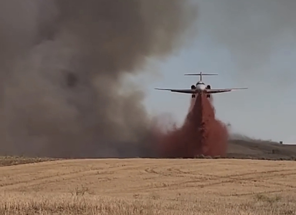
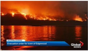 Two small communities nestled along Lower Arrow Lake in B.C.’s Southern Interior are now under evacuation orders. On Wednesday, the Regional District of Central Kootenay (RDCK) expanded its evacuation order because of the Michaud Creek wildfire that’s burning along the west side of the lake. The fire is estimated to be 2,670 hectares in size and is located around 21 kilometres south of Edgewood. According to the BC Wildfire Service, “strong winds are expected to increase well into today and continue to drive aggressive fire behaviour in the interior, southern interior, and southeast region of the province.” The evacuation order now includes the small communities of Edgewood and Needles, and runs north to Whatshan Lake, for a total of 356 properties.


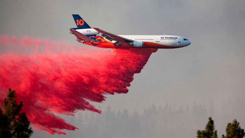
 Hundreds of properties …between the Okanagan towns of Oliver and Osoyoos have been evacuated or put on alert because of wildfire. The Nk’Mip Creek wildfire which broke out Monday afternoon and is now mapped at seven square kilometres, is burning on Osoyoos Indian Band land, north of Osoyoos. …An evacuation order has been issued for at least 160 homes by the Osoyoos Indian Band while 21 properties are on alert. The Regional District of Okanagan-Similkameen, which has declared a local state of emergency … has ordered the evacuation of 60 properties and nearly 100 others are on alert, including some areas of Oliver …The state of emergency… gives the minister sweeping powers to make orders without the legislature. …The B.C. Wildfire Service says nearly 3,000 square kilometres have burned in the province this fire season, which is 2,000 square kilometres above the 10-year average for this time of year. …air quality statements in effect across Western Canada