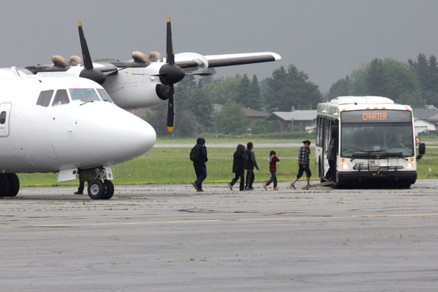
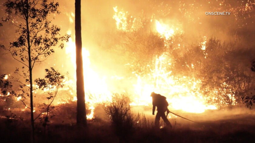
 As deadly bushfires continue to burn across Australia, a delegation of Canadian wildfire experts has embarked on a month-long trip to aid in the country’s crisis. The group of 21 wildfire suppression experts left Vancouver on Tuesday and are not expected to return until early January, meaning they will be thousands of miles away from home for the holidays. As of Wednesday, the New South Wales Rural Fire Service reported there are 129 bushfires burning across southeastern region, 72 of which are uncontained. Specialists from Ontario’s Ministry of Natural Resources and Forestry are among those assisting in Australia. Other members of the contingent come from fire management teams in Alberta, Manitoba, Ontario, Saskatchewan and Canada’s national parks service, Parks Canada.
 Doug Donaldson, Minister of Forests, Lands, Natural Resource Operations and Rural Development, has issued the following statement regarding the deployment of BC Wildfire Service staff to Australia: “On Dec. 3, 2019, the BC Wildfire Service will send seven of its operational personnel to Australia to assist with firefighting efforts there, as part of a contingent of 22 Canadians. It’s only late spring in Australia, but an early and extreme wildfire season in the eastern part of the country has already stretched Australia’s firefighting resources and led to fatalities, property losses and the destruction of large areas of New South Wales and Queensland. Currently, Australia has about 1,100 firefighters working on its wildfires. The Australian government has reached out to the Canadian Interagency Forest Fire Centre for assistance, and British Columbia will deploy some of our highly trained wildfire services staff. …The Canadian contingent leaves for a 38-day deployment, with an anticipated return date of Jan. 10, 2020.


/arc-anglerfish-tgam-prod-tgam.s3.amazonaws.com/public/7JO6VZYA45CTFN5RCPBBKTVUNE.jpg)

/arc-anglerfish-tgam-prod-tgam.s3.amazonaws.com/public/I25XOAQ73FFWVOVZQM6ZN2VZ2Q.jpg)


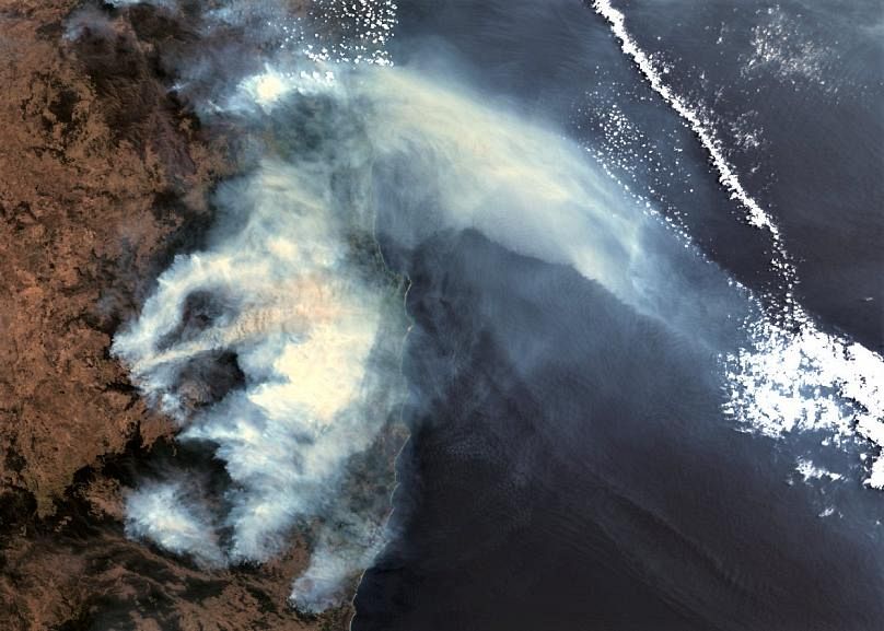
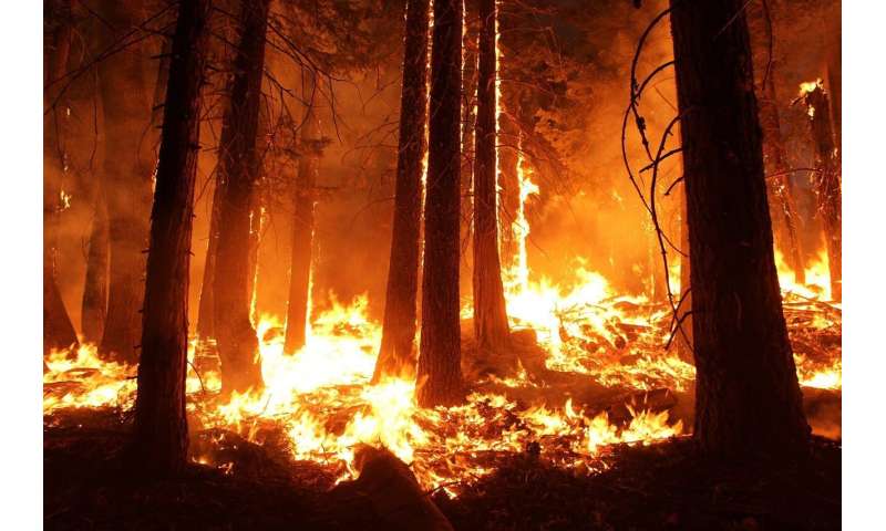
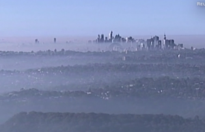
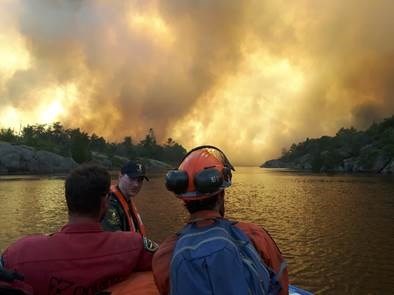
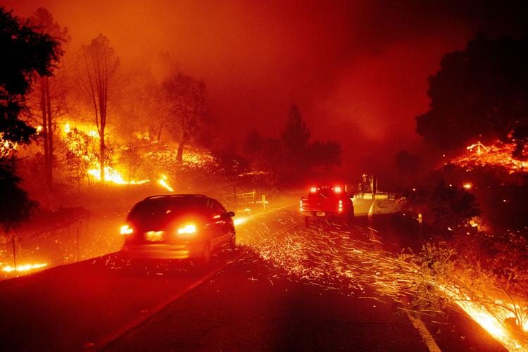
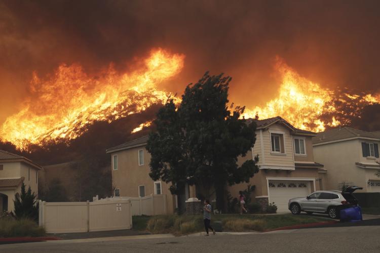
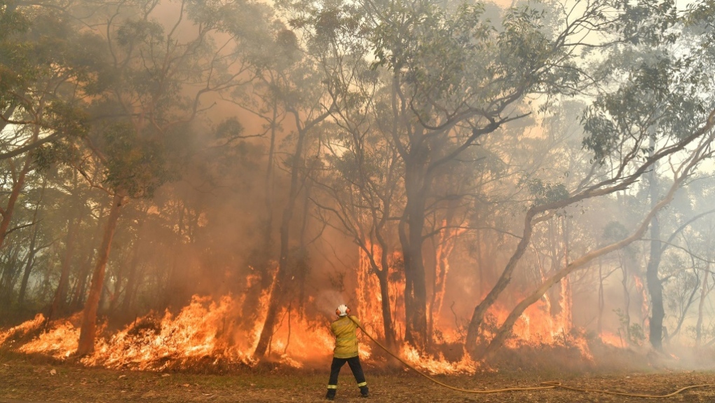 Australia’s most populous state of New South Wales declared a seven-day state of emergency Thursday as oppressive conditions fanned around 100 wildfires. Around 2,000 firefighters were battling the blazes, half of which remain uncontrolled, with the support of U.S. and Canadian backup teams and personnel from the Australian Defence Force. The last state of emergency ran for seven days in mid-November amid “catastrophic” fire risk and was the first implemented in New South Wales since 2013. Central Sydney reached a maximum of 39 degrees Celsius (102 Fahrenheit) on Thursday, while outer suburbs scorched at 42 Celsius (108 F). …Around 3 million hectares (7.4 million acres) of land has burnt nationwide during a torrid past few months, with six people killed and more than 800 homes destroyed. …Sydney’s air pollution levels on Thursday ranged from poor to hazardous.

/arc-anglerfish-tgam-prod-tgam.s3.amazonaws.com/public/TE6JIQLRINCH5FHYBOLGARACIU.jpg)