 Weyerhaeuser reported stronger Q2 earnings; International Paper and Clearwater Paper reported net losses; and Drax’s earnings fell on weaker fibre availability. In related new: Canfor’s mill closures have been “gut-wrenching”; Australia’s Maryvale Paper cuts jobs; Maine’s Woodland Pulp is fined for deadly gas release; and Domtar gives back to local communities. Meanwhile: Canada is launching an office to diversify trade; despite slowing GDP—the US economy is poised for growth; and the Softwood Lumber Board says City Accelerators grow lumber demand.
In Forestry/Wildfire news: Michael Ignatieff says Canada should ramp up water bomber production; Port Alberni debates cause of Mount Underwood wildfire; the Kitsumkalum First Nation and Terrace Timber partner on forestry; Fort St. John endorses COFI’s Forestry is a Solution initiative; West Fraser shares nature reporting framework in Alberta; rain isn’t extinguishing Colorado’s fires; Arizona plans to thin 20,000 acres/year; and Wisconsin examines effects of a prescribed burn.
Finally, a dangerous heat wave is gripping the US with 39 million under heat alerts!
Kelly McCloskey, Tree Frog News Editor


 Burnaby-headquartered Interfor Corp., one of B.C.’s long-standing lumber giants, has told its employees that it will be moving most of its executive and back-office work to an office in the United States. The company didn’t indicate whether it would officially move its headquarters to the office in Georgia that Interfor established in 2014… Interfor did not respond to Postmedia requests for comment. News of the move came as a surprise to the union that represents about 250 Interfor’s workers at two of its three B.C. mills, as well as mills in Ontario. “I read it this morning while vacation with my morning coffee,” said Jeff Bromley, wood council chair for the United Steelworkers. “I understand that they’ve built and purchased a number of operations in the States over the last 20 years,” Bromley added. “But at the end of the day, it’s still a kick in the gut.” …Now he is concerned other companies might follow suit.
 Canadian lumber giant Interfor Corp., which blamed U.S. tariffs on softwood lumber when it idled two Northern Ontario sawmills indefinitely in April, has told employees it plans to shift its corporate and functional support operations from the company’s current headquarters in Burnaby, B.C., to an office in Georgia. In a memo sent to employees earlier this month and viewed by the Financial Post, chief executive Ian Fillinger said the Peachtree City office, outside Atlanta, will be established as Interfor’s “primary hub for corporate and functional support.” The July 9 memo says “a continued West Coast presence” will be maintained as part of a multi-year operational strategy and that the company hopes to handle the gradual shift to a U.S. corporate support hub largely through attrition and future hiring decisions. …According to Fillinger the changes would position the company’s support functions closer to where the business operates and strengthen how mills and customers are served….
 A niche corner of B.C.’s forest sector … is now staring down a deadline for a crushing blow in the next round of tariff charges announced by U.S. President Trump. Those new charges would slap a 50 per cent tariff on $28 billion of Canadian exports including B.C. plywood, veneers and plywood panels starting Aug. 19, leaving producers short on strategies to adjust. “(We’re) just hoping that Trump is flip-flopping again,” said Bhavjit Thandi, chief financial officer of Richmond Plywood. …Thandi said Richmond Plywood sells most of the output of its 450-employee mill into the Canadian market, but the 10 to 12 per cent it has been shipping into the U.S. represents its best and highest-value product. …To Brian Menzies, executive director of the Independent Wood Producers Association, the threatened tariffs add insult to injury for his members that have been struggling for almost a decade under the punitive duties of the Canada-U.S. softwood lumber dispute. [A Vancouver Sun subscription is required for full story access]
 The Independent Lumber Manufacturers’ Association (ILMA) has chosen a convention theme that’s sure to get people talking: WTF? Where’s The Fibre? The title may raise a smile, but the question is serious.
 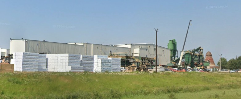 Carrier Forest Products Ltd. plans to indefinitely “curtail” production at its Big River sawmill later this year, resulting in 117 layoffs. Carrier recently announced that output from its Saskatchewan mill is to halt in October of this year, citing weak market conditions in addition to wildfires and American tariffs. “For over 100 years, the forestry industry has provided a source of income for the residents of this community as well as attracting many newcomers into town,” said Clint Panter, the reeve of the town council in Big River. …The NDP has blamed the governing Saskatchewan Party for the layoffs, stating that a lack of support for the forestry industry left the company vulnerable to tariffs, fires, disease and insects. In response, Saskatchewan Minister of Energy and Resources Chris Beaudry said the sawmill’s closure is “a direct result of the unjustified U.S. tariffs and duties, a weak pricing environment and a falling exchange rate.”
 PITTSBURGH – United Steelworkers (USW) International President Roxanne Brown and IAM Union (International Association of Machinists and Aerospace Workers) International President Brian Bryant sent a letter to United States Trade Representative (USTR) Jamieson Greer, urging him to reconsider tariffs on Canadian goods and instead employ a trade policy built on the long history and unique relationship the two nations share. “While it’s true that workers and their communities have suffered greatly from decades of so-called free trade, Canada has never been the problem,” said Brown. “Our two nations share a deep collaboration built on decades of economic integration as well as intelligence and defense cooperation. Rather than imposing further tariffs … we should work together with our Canadian allies to limit illegal trade practices and advance our shared prosperity.” “…we urge the administration to work with the Canadian government to preserve the integrated manufacturing relationship that supports workers on both sides of the border,” said Bryant.


 The purely economic decision by Finch Paper in Glens Falls, now part of a global company, to stop purchasing Adirondack regional trees for its pulp to paper operation and to instead acquire its pulp from far beyond New York’s borders is serious – and deserves the attention it’s getting from forest product industries, harvesters, truckers, suppliers, and landowners elsewhere. …While residents will no longer have to breathe the sulfide smell from the mill, there are broadly negative effects further north. Environmental interests also have a big stake in this matter. If a large, regional, formerly reliable market for low-grade… pulp trees is suddenly eliminated, then the reduced income and opportunities for future management threatens the quality, diversity, and sustainability of Adirondack forests. It also threatens the loss of Adirondack forest-related employment up and down the supply chain, as well as forest fragmentation and loss of wildlife habitats due to sale, subdivision, and subsequent development.
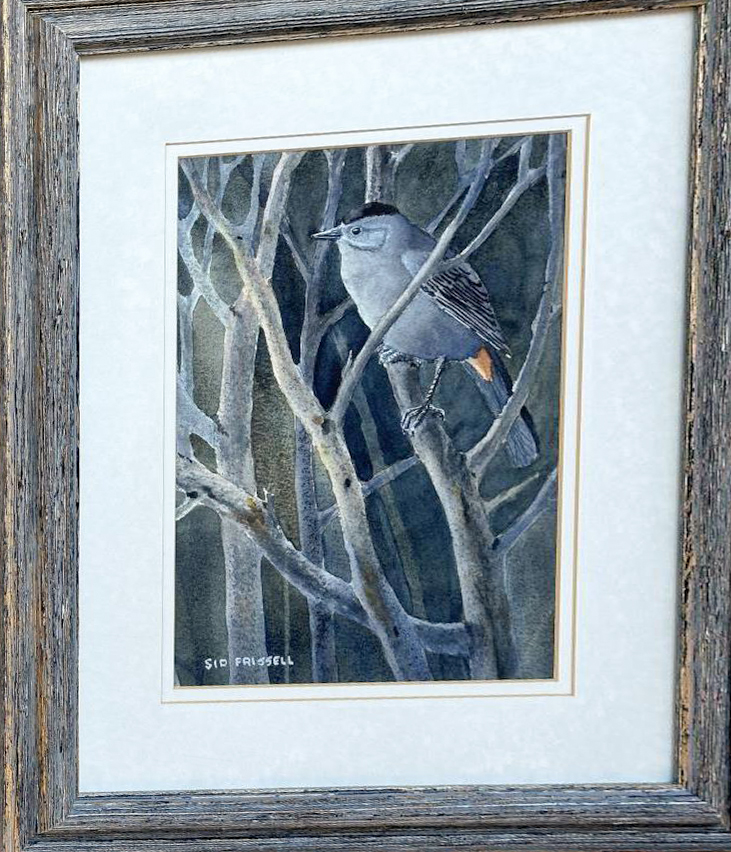 Sidney S. Frissell died in Hamilton, MT, on March 13, 2026. He was a Forestry professor and Dean at the University of Montana, woodsman and an avid birder, watercolor painter of birds in their natural habitats, and lifelong Ham radio operator. …Sid earned a Forestry degree at the University of Minnesota and went to work for the US Forest Service in Randall, Washington. Within a year he returned to graduate studies at Minnesota, earning a Master’s degree and then pursuing a PhD. …In collaboration with colleagues he made lasting contributions in wildlife ecology and management, forest recreation, and wilderness management, coauthoring a methodology for assessing sustainability of use of campsites still applied by forest managers today. After serving several years as Associate Dean of the School of Forestry at the University of Montana, he was promoted to Dean in 1986. …He retired at a relatively young age to pursue a second career in wildlife illustration and bird painting…


 Canada has long been recognized as a global leader in advancing reconciliation with Indigenous Peoples, particularly since Aboriginal rights and title were constitutionally entrenched in 1982. While significant progress has been made, reconciliation remains an ongoing process, with courts continuing to shape how these rights are defined, respected, and implemented. A pivotal moment came with the Tsilhqot’in Nation v British Columbia decision, in which the Supreme Court of Canada granted Aboriginal title to a large area of land in British Columbia. This ruling established key legal tests for proving Aboriginal title and outlined how governments may justify infringements. Importantly, the decision affirmed that such lands are no longer Crown lands and are subject to Indigenous rights of “exclusive use and occupation.” More recently, courts in British Columbia, Ontario, and New Brunswick have begun addressing how Aboriginal title may intersect with privately owned land. These cases introduce a complex legal tension: both Aboriginal title and fee simple ownership confer rights of exclusive use and occupation. The question of how these rights can coexist on the same parcel of land remains unresolved and is now central to ongoing legal debates.
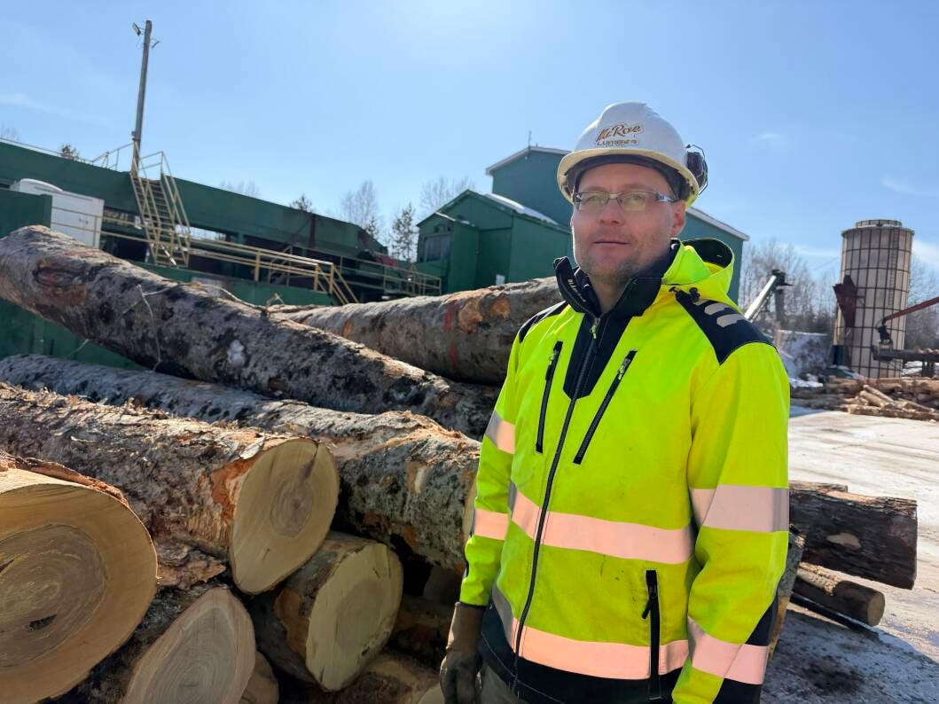
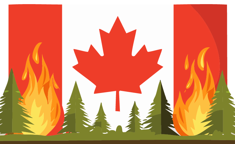 As more than 900 wildfires burn across Canada, prompting evacuation orders and pushing Ontario into its worst wildfire season on record, officials are renewing calls for the country to develop a national wildfire strategy through the creation of a federal agency. Canada is the only G7 country that does not have a national emergency agency that is mandated to respond to wildfires. After a disastrous July for wildfires that razed First Nations communities in northeasern Ontario and sent poisonous smoke southward through the US, provincial premier Doug Ford called for a countrywide response to the wildfire threat. “We need a large national fire strategy. We seem to be going through this every single year,” Ford told reporters. … A national wildfire strategy through the creation of a federal emergency agency would help Canada be more prepared, said Mike Flannigan, a professor of wildland fire at Thompson Rivers University in British Columbia.
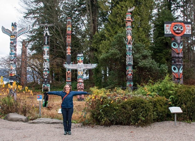 After a visit to Stanley Park, Nina Shoroplova, a Vancouver naturalist, went on to research and write a book about the park and its trees. Stanley Park holds a fascination for many. Sometimes called the crown jewel of the city, the park contains about 600,000 trees. But the urban forest is changing in ways that challenge both the health of the ecosystem and ideas about the park itself. An outbreak of western hemlock looper killed about 30 per cent of the large trees in Stanley Park as of April 2023… Recent droughts have made the damage more severe, increasing the wildfire risk in the park… Amid some opposition, park board crews have cut down about 14,000 trees since fall 2023. …The idea that Stanley Park is an area of untamed wilderness has always held appeal. But its history and present reality are much more complex, said Sean Kheraj, author of Inventing Stanley Park: An Environmental History. …The reality is that Stanley Park’s forest has long been influenced by people. [A Vancouver Sun subscription is required for full access]


 TORONTO — On World Nature Conservation Day, a new report published by Ontario Nature demonstrates how Bill 5’s Species Conservation Act (SCA), which repealed the Endangered Species Act (ESA), creates critical protection gaps for 106 migratory birds, aquatic species and species of Special Concern. The report – Bridging the Gap: Assessing Recent Changes to Species at Risk Protections in Ontario – shows that the ESA provided an effective, though imperfect, framework for species conservation and recovery. The loss of this framework is a symptom of a much broader trend in weakened environmental protections across the province and beyond, where the most vulnerable species and habitats are seen as “red tape”. This pattern exacerbates the ongoing biodiversity crisis, which will ultimately undermine the economic and social resilience of Ontario, in addition to further imperiling our precious natural world.
 The U.S. Forest Service has promised to approve at least 20,000 acres a year worth of forest thinning projects annually to support forest restoration and wildfire protection in the footprint of the Four Forest Restoration Initiative, or 4FRI. The commitment is key to the 4FRI effort to save Northern Arizona’s forests and forested communities, partly because it provides a guarantee of biomass to support loggers and support industries. The 4FRI collaboration on the Tonto, Coconino, Apache-Sitgreaves and Kaibab forests remains the most ambitious forest restoration effort on the continent. However, the fitful approvals of logging and restoration projects has hobbled the timber industry needed to thin millions of overgrown, fire-prone acres. The slow pace of project approvals has limited the growth of the logging industry, especially crucial operations that can make use of the low-value biomass produced by every thinning project.
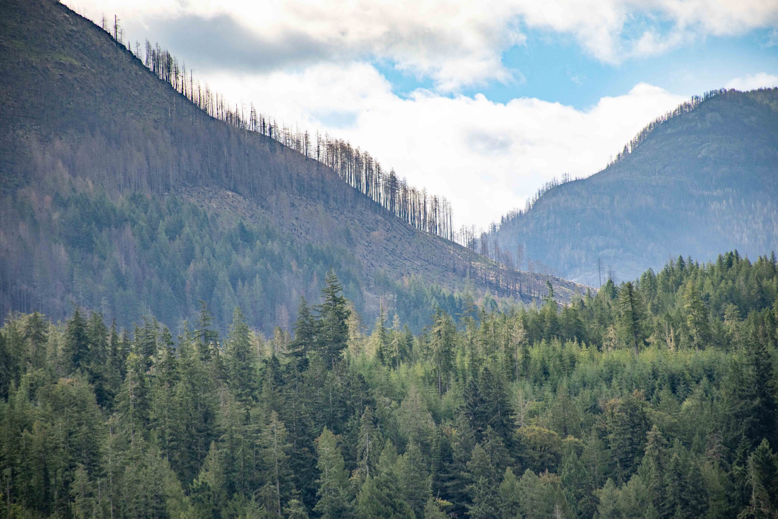 Trump administration officials and members of Congress walked along the burn scar from Utah’s devastating Cottonwood Fire last week…. If the forest had been thinned, with “a lot fewer trees per acre, and maybe even some controlled burns to take the underbrush out, there’s just not the fuel there when these fires start to make them catastrophic fires,” Rep. Bruce Westerman said. The Arkansas Republican chairs the House Natural Resources Committee. But these traditional fire prevention methods may no longer work with a changing climate that makes hot, dry weather increasingly the norm said Dominik Kulakowski, a professor of geography at Clark University in Massachusetts. “The implication of that,” he said, “is that we’re losing our ability to manage forest fires.” …The Trump administration issued a directive this year calling on federal agencies to aggressively suppress all fires — including the smaller ones that forests evolved with and may keep them healthy.


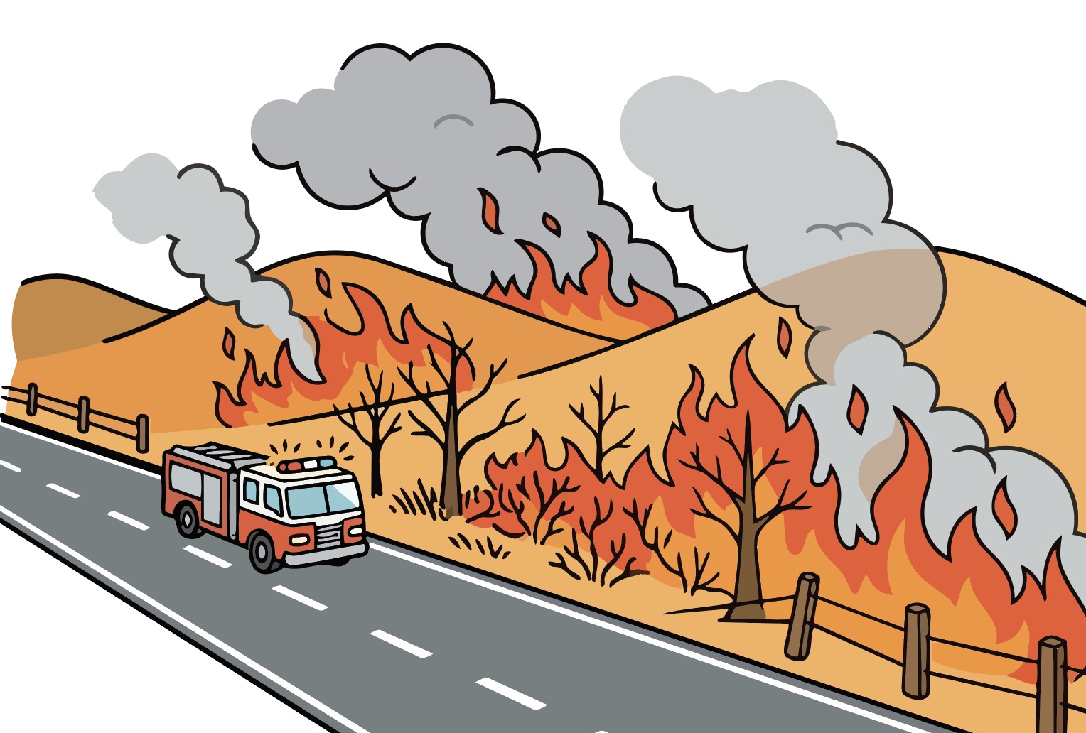
 With France and Spain struggling to contain raging wildfires, and others from Germany to Greece on high alert, Europe is discussing how to stop this happening again next year. …Addressing the root causes of wildfires, such as increasingly frequent heat waves, will require long-term policies. But there are ways to reduce the risk in the short term, said Tammouz Eñaut Helou, secretary-general of the French forest owners’ association UCFF. This includes raising awareness about how to prepare for outbreaks of fire and “maintaining access through forests to allow firefighters to operate more effectively during interventions”. …Environmentalists say it’s the entire structure of our forests that needs to be rethought. “The fires … are spreading through timber plantations. These monocultures are more than twice as likely to burn as natural forests,” the director of UK environmental group Earthsight, Samuel Lawson, said on Sunday. …Helou, representing the planters of such forests, disagrees.
 When people see or hear that a fire has started beside a highway or road, many probably think that a casually discarded cigarette butt tossed out a window is the culprit. Not so, says Ashcroft Fire Rescue Chief Josh White. …he says that most roadside fires could be prevented if drivers took a few simple steps to make their vehicles more roadworthy… According to the BC Wildfire Service, only 0.8 per cent of human-caused fires in B.C. each year are caused by discarded smoking materials. By contrast, vehicles are responsible for 3.8 per cent of human-caused fires each year. …White says that there are three main things people can do to reduce the risk of vehicle fires. “Get the vehicle serviced regularly; don’t overload the vehicle; and carry a working fire extinguisher. It won’t necessarily put a fire completely out, but it’s good at knocking down a small fire”

 B.C. Hydro says it will have to replace hundreds of power poles due to wildfires raging in the southern part of the province, but that its major transmission lines have escaped major damage. “There is quite a long list of items that are going to be replaced,” B.C. Hydro spokesperson Bob Gammer told CBC’s Daybreak North. The Pear Lake wildfire, burning near Clinton, has torched more than 230 power poles and knocked out power to about 1,100 customers. In the Boston Bar area, the fires of the Brunswick fire complex have left about 100 customers without power and burned 34 transmission poles. Significant quantities of power line and transformers will also need to be replaced, Gammer said. However, the fires have not knocked out any of B.C. Hydro’s major 500 kV transformer systems, and all of its primary transmission corridors — which supply power to millions of British Columbia — remain in service, the Crown corporation told CBC News.


 WOODBINE, Ga. — Firefighters are continuing to battle an 800-acre wildfire in Camden County after smoke from the fire forced a portion of Interstate 95 to close overnight. The wildfire started Wednesday evening after a lightning strike in a remote marsh area, according to the Georgia Forestry Commission. Officials said the location of the fire has made it difficult for crews to access from the ground. “This is a very, very remote area with limited access as the majority of the fire is out in the marsh area,” Stockett said. The Georgia Forestry Commission said crews are using multiple resources to fight the fire, including helicopters and forestry personnel working to strengthen containment lines. Stockett said the fire was about 800 acres and 50% contained as crews continued working in the area. Smoke from the wildfire created visibility issues along I-95, leading officials to temporarily close part of the interstate. The roadway has since reopened.
 BORDEAUX, France — Firefighters in southwestern France said Friday they were working on four active hotspots as they tried to put out fires that ripped through 100,000 acres of forest, villages and farmland over the past week. Lt. Col. Eric Pitault, the spokesman for firefighters in the Gironde region, said that while the situation had “stabilized,” there are still several zones that are difficult for responders to access. He said authorities were hoping to have full control by the weekend. Tens of thousands of people near Bordeaux who were evacuated due to fire risk were allowed to return to their homes on Thursday night, as the rest of Europe continued to tackle a historic heatwave. “It’s the first somewhat optimistic day,” said Sophie Brocas, prefect of Bordeaux’s Gironde region, as she allowed the 84,000 evacuees to return home. Some 60,000 had been allowed to return to their homes on Tuesday, according to the Associated Press.
 PARIS — A wildfire in southwest France grew so powerful that its smoke column became a thunderstorm, generating lightning that struck the ground and ignited new fires beyond the original blaze, French officials said. Put another way, that means the inferno was no longer simply being propelled by the weather. It was making its own. The thundercloud also produced violent, erratic winds capable of driving the flames in new directions. The phenomenon, called a pyrocumulonimbus, or pyroCb, is rare in Europe and more commonly documented in North America and Australia, where it occurs only over some of the most extreme fires. France’s national firefighters federation said it had never before recorded one in the country. …At about 6:20 p.m. Friday, two days after the fire began, the departmental fire and rescue service said it had generated a pyrocumulonimbus. The cloud weakened overnight as humidity rose, then formed again several times. An electrified black thundercloud…
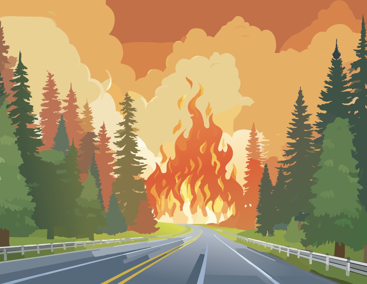 More than 300,000 people were evacuated and at least one person killed because of wildfires in France and Spain, with fire crews battling the blazes for several days. The two countries are facing massive wildfires that began last week amid successive heat waves in Europe that produced record high temperatures in several countries and led to thousands of excess deaths. …Fire crews were dealing with a 280-km perimeter of fire covering 77,000 hectares across Madrid, Ávila, and Toledo, Spain’s Secretary-General for Civil Protection and Emergencies Virginia Barcones told state broadcaster TVE. …In France, around 55,000 people were ordered to evacuate villages near Bordeaux… Much of Europe has been affected by successive heat waves that have raised the risk of wildfires. With temperatures expected to rise again and little rain forecast in many fire-affected areas, that danger is only expected to increase this week.