 The BC Wildfire Service said Tuesday (July 8) afternoon it’s aware of the wildfire in Washington State 16 km southwest of Northport and is assisting in fire suppression. The location is south of Highway 3 between Christina Lake and Trail, and is being referred to as the “Hope Fire”. The fire was first reported at approximately 1:15 p.m. was estimated later in the afternoon to be 600 acres (243 hectares) in size. BC Wildfire said in a social media post that the US Department of Natural Resources is responding and have resources on-site. BC Wildfire has also deployed airtankers to support wildfire suppression efforts. “At this time there is no threat to the Canada-US border,” it said. Stevens County Emergency Management has announced Level 3 (LEAVE NOW) evacuation orders in the area of Three Pines Youth Camp, according to a statement from Stevens County Emergency Management.


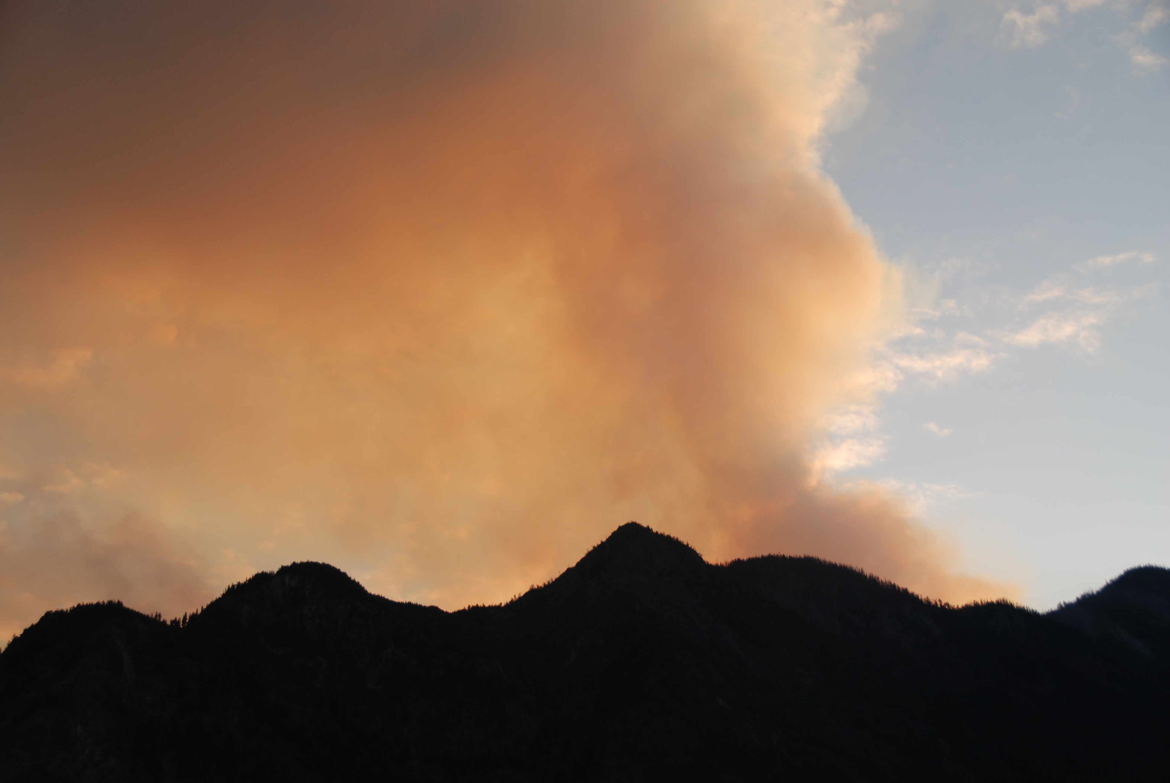 Wildfire smoke from just across the U.S. border is drifting into southern B.C., prompting a Level 1 activation of the Regional District of Kootenay Boundary’s Emergency Operations Centre (EOC). As of Wednesday night, the Hope Fire had grown to 3,500 acres with zero per cent containment, burning 11.4 miles southwest of Northport, Washington. Wednesday morning, the regional district issued an update on the Hope (USA) Fire. According to the Regional District of Kootenay Boundary (RDKB), as forecasted, favourable weather conditions last night resulted in shifting winds that blew the fire back onto itself and away from the Canada/US border. The United States has put considerable resources on the now 3,200-acre fire. For current information on the Hope Fire, residents are advised to consult U.S. agency sources, such as

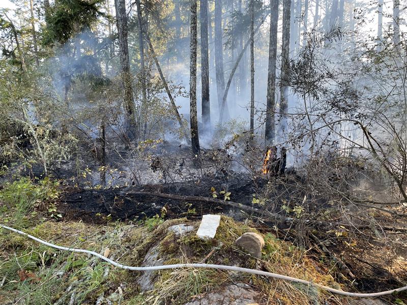
 The Thompson-Nicola Regional District has declared a local state of emergency for the Blue Sky Country region due to an encroaching out-of-control wildfire near Lytton, B.C. It has also issued an evacuation order for two properties on Spencer Road South as the blaze poses “immediate danger to life.” The BC Wildfire Service says the Nikaia Creek wildfire is about six hectares in size and is one of more than 70 wildfires burning across the province. It says crews, supported by firefighters from Lytton First Nation, made “good progress” overnight and they are now focused on the north and south flanks of the blaze. The Thompson-Nicola Regional District also issued an evacuation alert Monday night for nine properties in the Harper Lake area near Chase, B.C., due to the rapidly growing Mount Scatchard wildfire.


 Much of Central Canada, Manitoba and Saskatchewan were placed under special air quality statements or warnings on Monday due to smoke from wildfires, as Environment Canada advised residents to limit time outdoors and watch for smoke exposure symptoms. The weather agency said air quality was poor across swaths of Ontario and Quebec as westerly winds brought in smoke from forest fires in the Prairies and northern Ontario. The weather agency also issued air quality warnings in central Saskatchewan and a special statement for much of Manitoba, noting that air quality and visibility due to wildfire smoke can fluctuate over short distances and vary from hour to hour.
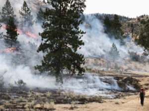 Fire crews in Northwestern Ontario are monitoring 52 active wildfires across the region after five new blazes were confirmed by Sunday evening. Among the latest is Red Lake 99, burning near Grist Lake, which is the largest of the new fires at 394 hectares and not under control. Red Lake 101 has also drawn attention after crossing into Ontario from Manitoba. That fire is currently 227.5 hectares and continues to burn within Woodland Caribou Provincial Park. Other new fires include Red Lake 98 near Hornby Lake, Red Lake 100 west of Poplar Hill First Nation, and Red Lake 102 northwest of Nechigona Lake. Of those, only Red Lake 100 is under control. Fire officials continue to urge people to respect emergency orders and stay out of restricted zones to support safety and firefighting operations.
 DRYDEN — Ten new forest fires in Northwestern Ontario over the weekend brought the total number of active fires in the region to 52. The Ministry of Natural Resources reports that one of the new outbreaks is an extension of a wildfire burning in Manitoba. That province’s EA061 fire has burned 278,000 hectares there, and 228 hectares in Ontario, as of Sunday evening. It’s located about 10 kilometres west of Bulging Lake in Woodland Caribou Provincial Park. Among other new fires of note in the Northwest, a 394-hectare blaze is burning four kilometres northwest of Grist Lake in the MNR’s Red Lake sector. The ministry reports the wildland fire hazard is low to moderate in most of the region, except for along the Ontario-Manitoba border from the Rainy River area to Opasquia Provincial Park, 250 kilometres north of Red Lake, where the hazard is mainly high.
  Ontario Forest Fires says there are now six forest fires in the northeast region after four new ones were discovered Monday. One of the fires is under control while the other five are being held, the group said in its daily update on the area’s forest fire situation. “The fire hazard is low across the central and southern section of the region and moderate to high with a few pockets of extreme values across the northern section of the northeast region,” the update said. Wildland fires can affect communities when they occur in or near neighbourhoods near forested areas. The FireSmart program offers tangible tips on how to mitigate the risk of wildland fires spreading to your home, cottage, or community. “Aviation, Forest Fire and Emergency Services would like to remind the public to use caution when performing any outdoor burning,” the update said.
 The province’s biggest-ever forest fire is now considered unlikely to spread beyond its existing boundaries. The 196,000-hectare Red Lake 12 was declared “being held” by the Ministry of Natural Resources on Sunday. The MNR described it as “a significant milestone” for the fire that prompted the evacuation of both Deer Lake and Sandy Lake First Nations. Eighteen firefighting crews supported by seven helicopters are still assigned the task of bringing the fire under complete control, but some other equipment has now been demobilized. Logistic support staff will be shipping firefighting apparatus out of Deer Lake and Sandy Lake over the next few days.
  Recent rainfall has reduced the wildfire hazard across northwestern Ontario, though the region’s largest wildfire is now more than 194,000 hectares large. Red Lake 12 — the fire that has forced community evacuations in Deer Lake First Nation and Sandy Lake First Nation — remains not under control. However, precipitation and cooler temperatures have given FireRangers more breathing room over the past few days and have also reduced smoke levels. However, thunderstorms this past weekend have created the potential for holdover fires caused by lightning, which crews will be monitoring over the next week. Red Lake 12 has 23 firefighting crews assigned to three divisions on the fire’s south and eastern perimeters, supported by 18 helicopters, including four heavy helicopters with increased bucketing capacity, Ontario Forest Fires said in its latest update.
 The country’s largest wildfire this year has burned over 95,740 acres, fire officials in central Oregon said Sunday, as ground crews made progress to partially contain a blaze that could still intensify to become a so-called megafire. Officials said that the massive blaze — which has drawn more than 900 fire personnel, destroyed a handful of homes and prompted evacuations in two counties — was 49% contained after crews struggled to keep back the flames last week. …Cooler temperatures and higher humidity over the weekend are expected to continue early this week, potentially aiding firefighting efforts, but the sheer size of the fire has been staggering: If it grows to at least 100,000 acres, it would be classified as a megafire, becoming the first one in the U.S. in 2025, said the National Interagency Fire Center in Boise, Idaho, which coordinates the country’s wildland firefighting operations. Oregon saw six wildfires reach megafire status last year
 The Laguna Fire approximately 25 miles west of Abiquiú has grown to more than 15,000 acres, and prompted evacuation orders more than two weeks after Santa Fe National Forest officials announced their plans to let the fire safely grow instead of suppressing it immediately. On June 30, the Santa Fe National Forest announced that lightning caused the 176-acre fire and that they were going to “actively manage” the blaze, hoping to encourage low-intensity fire to spread across a roughly 13,000 mile area. Noting that the fire was burning in an area that had undergone a National Environmental Policy Act review, and had previously been subject to prescribed burns and thinning, Santa Fe National Forest Deputy Forest Supervisor Anthony Madrid said the fire presented “an opportunity to create a resilient ecosystem that reduces the future risk of catastrophic severe wildfire to communities.”
 PANGUITCH, Utah — The France Canyon fire has increased to 23,353 acres and is currently at 10% containment, according to the latest information posted by the U.S. Forest Service – Dixie National Forest. Officials say fire activity increased at around 2 p.m. on Sunday, June 22, pushing eastward into the Kings Creek Campground area. Firefighters had to conduct a tactical firing operation to protect the campground. A total of 749 personnel are battling the fire and working on securing structures within Wilson Peak, the Hillsdale and Johnson Canyons. Firefighters are also working to keep the fire west of East Fork Road. Efforts are also underway to protect the Bryce Woodland community on the southwest side of the wildfire perimeter.
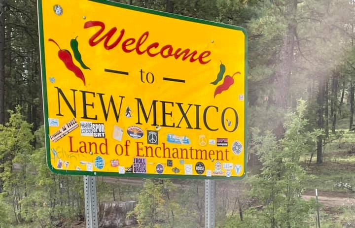 Forest fires have broken out in parts of New Mexico that state forecasters had already warned would see an elevated wildfire risk this summer due to high temperatures, low snowpack and ongoing drought. At least 25 New Mexico jurisdictions imposed some level of fire restriction this spring. State Forester Laura McCarthy said the peak of fire season is still a week away, beginning June 26. …On Tuesday, New Mexico Governor Michelle Lujan Grisham declared a state of emergency in response to the Trout Fire, which is burning in the Gila National Forest, forcing residents to evacuate. The Buck Fire also has burned more than 57,000 acres in the same area of Southwest New Mexico. The governor has urged localities to ban fireworks and restrict water usage. …”If you look at every single big fire we’ve had, there was either a lightning strike or a person behind it,” she added.
 More than 15,000 residents of Marseille confined to their homes have been allowed out after a wildfire on the outskirts of France’s second city was brought under control, but officials have warned the country faces an exceptionally high-risk summer. Fanned by gale-force winds and kindled by parched vegetation, several fires have burned swathes of southern France in recent days, including Tuesday’s just north of the port city. The weather service has said the weeks ahead could be critical. “The fire is receding, but with a blaze this severe, over this big an area, it’s clear there may be fresh flare-ups, flames can jump, embers can reignite,” the prefect of the Bouches-du-Rhône department, Georges-François Leclerc, said on Wednesday.

 ISTANBUL/PARIS/BRUSSELS – Firefighters battled wildfires in Turkey and France on Monday and more than 50,000 people were evacuated as an early summer heatwave hit Europe. Health alerts were issued in France, Spain, Italy, Portugal and Germany. Even the Netherlands, used to a milder climate, issued a warning for high temperatures in the coming days, coupled with high humidity. “Large parts of Western Europe are experiencing extreme heat and heatwave conditions that are normally observed in July or August, rather than June,” said the EU’s Copernicus Climate Change Service. …In Turkey, wildfires raged for a second day in the western province of Izmir, fanned by strong winds, Forestry Minister Ibrahim Yumakli said. More than 50,000 people have been evacuated from five regions, including more than 42,000 in Izmir, Turkey’s AFAD emergency management authority said.