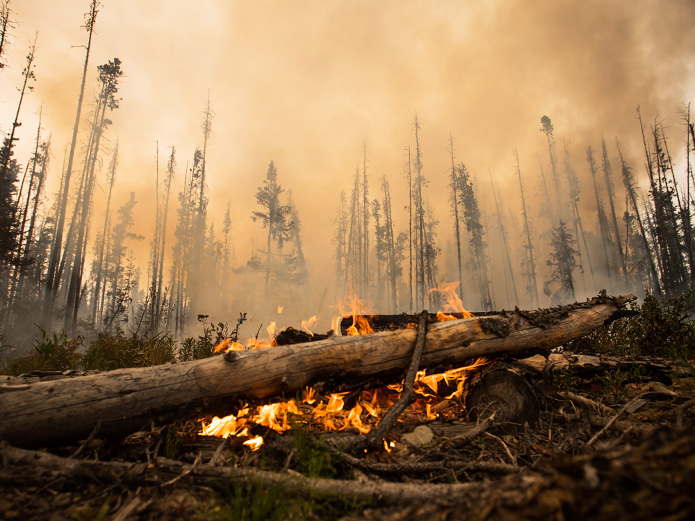
As this year’s wildfire season comes to a close in the Northwest Territories, final tallies reveal that there were less fires in 2018 than on average. As of Aug. 22, there were 54 fires with a total of 11,271 hectares burned, according to a news release from the territorial government. That’s compared to a 25-year average of 172 fires with 402,976 hectares burned. Due to the low level of fire danger, the release says fire crews and resources from the territory also helped respond to wildfires in B.C., Alberta, Saskatchewan, Yukon and Ontario this season. Meanwhile, crews in the territory helped ensure the future protection of communities through the FireSmart project, like brush clearing, maintenance on fire breaks and creating temporary helipads.


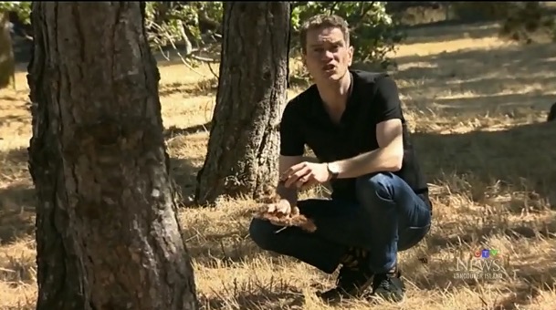
 According to the B.C. Wildfire Service, 420 of the 1,950 wildfires that created havoc across our province this year were caused by humans. …It has been estimated that about 40 per cent of forest fires over the past 10 years were caused by humans. That translates into about 660 fires a year, on average. It’s hard to put a total dollar value on the costs involved. Last year, the province spent $568 million fighting fires. This year, the figure is $275 million and counting. …Part of the problem is the aging of our forests. Forty years ago, B.C. had 18 million hectares of trees more than a century old. Today, that number is 25 million. The mountain pine beetle infestation that peaked in 2005 has also played a role.


/https://www.thestar.com/content/dam/thestar/news/canada/2018/09/08/21-new-forest-fires-reported-in-ontario-ministry-says-most-caused-by-lightning/lightening.jpg)


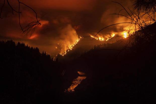
 REDDING, Calif. — Fire officials say a Northern California wildfire that shut down a main freeway between California and Oregon was human-caused. The fire information website Inciweb reported the cause of the blaze that erupted Wednesday but didn’t provide details. The blaze surged through trees and brush near Interstate 5 north of Redding. Drivers scrambled from trucks as flames engulfed hillsides near the roadway. At least two trucks burned. By nightfall, the so-called Delta Fire had grown to some 3 square miles north of San Francisco. Scattered rural homes in and around the Shasta-Trinity National Forest were ordered evacuated and the I-5 was closed for miles.